


Indonesia
2001
Collins (Verlag)
978-0-00-449100-4 (ISBN)
Collins (Verlag)
978-0-00-449100-4 (ISBN)
- Titel ist leider vergriffen;
keine Neuauflage - Artikel merken
A brand new map of Indonesia highlighting the key tourist features and classified road network against a background of hillshading and attractive layer colouring. Scale 1:4 000 000; 1 cm to 40 km; 1 inch to 63 miles
MAIN FEATURES
Detailed physical map with attractive hillshading and layer colouring and showing key tourist sites, areas of natural beauty, local activity centres and main transport links.
AREA OF COVERAGE
All of the Indonesian island group extending from Malaysia in the west to Papua New Guinea in the east and including the islands of Borneo, Java, Timor, Sumatera and Sulawesi
INCLUDES
Useful features include detailed city map of Jakarta, essential travel connections guide and distance chart. Large scale inset maps of the holiday destinations of islands of Bali and Lombok. Comprehensive place name index to towns, villages and places of interest on reverse of sheet.
WHO THE PRODUCT IS AIMED AT
The ideal map for the independent traveller for both planning and using on a trip. Also useful for home and business reference.
OTHER PRODUCTS IN THE SERIES
Thailand
Indian Subcontinent
Singapore & Malaysia
China
Japan
| Erscheint lt. Verlag | 8.5.2001 |
|---|---|
| Reihe/Serie | Independent Travel Map |
| Zusatzinfo | index |
| Verlagsort | London |
| Sprache | englisch |
| Maße | 1050 x 889 mm |
| Gewicht | 104 g |
| Themenwelt | Reisen ► Karten / Stadtpläne / Atlanten ► Asien |
| ISBN-10 | 0-00-449100-9 / 0004491009 |
| ISBN-13 | 978-0-00-449100-4 / 9780004491004 |
| Zustand | Neuware |
| Haben Sie eine Frage zum Produkt? |
Mehr entdecken
aus dem Bereich
aus dem Bereich
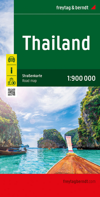
Karte (gefalzt) (2024)
Freytag-Berndt und ARTARIA (Verlag)
12,90 €
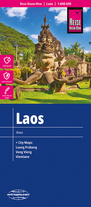
Karte (gefalzt) (2023)
Reise Know-How (Verlag)
14,00 €
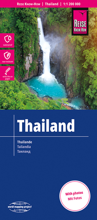
reiß- und wasserfest (world mapping project)
Karte (gefalzt) (2024)
Reise Know-How (Verlag)
12,00 €