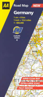
Germany
2001
Automobile Association (Verlag)
978-0-7495-2879-9 (ISBN)
Automobile Association (Verlag)
978-0-7495-2879-9 (ISBN)
- Titel erscheint in neuer Auflage
- Artikel merken
Zu diesem Artikel existiert eine Nachauflage
Detailed and up-to-date with very clear modern mapping, this map of Germany features full details of motorways, dual carriageways, local roads and those still under construction, and also includes information on toll gates, service areas, road numbers and administrative boundaries.
Taken from the "AA Road Atlas Europe", this 12.6 miles to 1 inch (1:800,000/1cm = 8km) mapping is now available in a handy sheet map format with a practical and durable cover. Fully up-to-date, it contains all you'll need to know on motorways, dual carriageways and local roads, plus those still under construction. There are also details on toll gates and fees, service areas, road numbers, as well as tunnels, passes and boundaries. National parks and places of interest are indicated too, making this map suitable for touring and sight-seeing, as well as for travelling on business.
Taken from the "AA Road Atlas Europe", this 12.6 miles to 1 inch (1:800,000/1cm = 8km) mapping is now available in a handy sheet map format with a practical and durable cover. Fully up-to-date, it contains all you'll need to know on motorways, dual carriageways and local roads, plus those still under construction. There are also details on toll gates and fees, service areas, road numbers, as well as tunnels, passes and boundaries. National parks and places of interest are indicated too, making this map suitable for touring and sight-seeing, as well as for travelling on business.
| Erscheint lt. Verlag | 31.3.2001 |
|---|---|
| Reihe/Serie | AA Road Map Europe Series |
| Verlagsort | Basingstoke |
| Sprache | englisch |
| Maße | 110 x 246 mm |
| Gewicht | 95 g |
| Themenwelt | Reisen ► Karten / Stadtpläne / Atlanten ► Deutschland |
| ISBN-10 | 0-7495-2879-6 / 0749528796 |
| ISBN-13 | 978-0-7495-2879-9 / 9780749528799 |
| Zustand | Neuware |
| Haben Sie eine Frage zum Produkt? |
Mehr entdecken
aus dem Bereich
aus dem Bereich
Karte (gefalzt) (2023)
BVA BikeMedia (Verlag)
10,95 €
111 Touren zu 222 Stempelstellen – Die offizielle Touren-Karte
Karte (gefalzt) (2024)
Schmidt-Buch-Vlg (Verlag)
14,95 €


