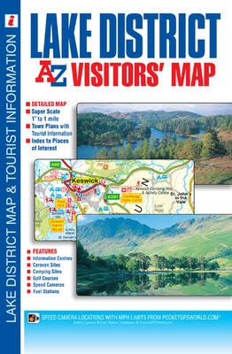
Lake District Visitors Map
Seiten
2017
|
29th Revised edition
Geographers' A-Z Map Co Ltd (Verlag)
978-1-84348-956-6 (ISBN)
Geographers' A-Z Map Co Ltd (Verlag)
978-1-84348-956-6 (ISBN)
- Titel erscheint in neuer Auflage
- Artikel merken
Zu diesem Artikel existiert eine Nachauflage
This full colour fold-out visitors' map of the Lake District covers an area extending to include:
•Workington
•Cockermouth
•Keswick
•Penrith
•Shap
•Kendal
•Milnthorpe
•Grange-over-Sands
•Ulverston
•Millom
•Bootle
•Ravenglass
•Egremont
•St. Bees Head
•Whitehaven.
The detailed road mapping, which includes contour colouring, highlights the locations of a wide range of visitor attractions and places of interest – the ideal choice for those planning lowland walking and general touring.
There are town centre street maps of:
•Ambleside
•Cockermouth
•Coniston
•Grange-over-Sands
•Grasmere
•Hawkshead
•Kendal
•Keswick
•Penrith
•Ulverston
•Windermere and Bowness-on-Windermere
These town centre maps are accompanied by text which gives helpful information about each town and its visitor attractions and places of interest.
There are separate indexes to the towns, villages and hamlets featured on the road mapping and to the selected places of interest featured on the road and street mapping. Fuel station and safety camera locations with their maximum speed limit are featured on both the road and street mapping.
Britain’s leading street map publisher providing cartographic services, digital data products and paper mapping publications (including Street Atlases, Visitors Guides, Great Britain Road Atlases and The Adventure Atlas).
| Erscheint lt. Verlag | 6.10.2017 |
|---|---|
| Reihe/Serie | A-Z Visitors Map |
| Sprache | englisch |
| Themenwelt | Reisen ► Karten / Stadtpläne / Atlanten ► Europa |
| ISBN-10 | 1-84348-956-2 / 1843489562 |
| ISBN-13 | 978-1-84348-956-6 / 9781843489566 |
| Zustand | Neuware |
| Haben Sie eine Frage zum Produkt? |
Mehr entdecken
aus dem Bereich
aus dem Bereich
Straßen- und Freizeitkarte 1:250.000
Karte (gefalzt) (2023)
Freytag-Berndt und ARTARIA (Verlag)
12,90 €
Karte (gefalzt) (2023)
Freytag-Berndt und ARTARIA (Verlag)
12,90 €
Östersund
Karte (gefalzt) (2023)
Freytag-Berndt und ARTARIA (Verlag)
12,90 €


