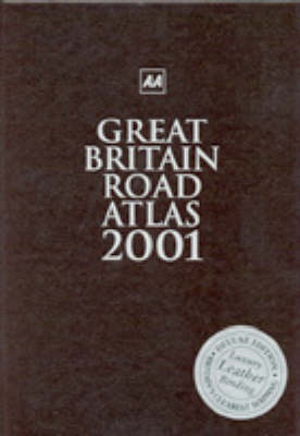
Great Britain Road Atlas
Seiten
2000
|
New edition
Automobile Association (Verlag)
978-0-7495-2566-8 (ISBN)
Automobile Association (Verlag)
978-0-7495-2566-8 (ISBN)
- Titel erscheint in neuer Auflage
- Artikel merken
Zu diesem Artikel existiert eine Nachauflage
A road atlas of Great Britain with mapping at a scale of three miles to one inch, this edition features mileage charts with journey times for better journey planning, and includes 100 places of interest and 20 airports added to the index of over 31,500 entries.
A leather-bound gift edition, this map includes journey-planning information that shows principal routes, motorway junctions and major towns and cities at a glance, and also includes a mileage chart with journey times which helps you plan ahead. Navigation of towns is made easy with 86 street-indexed plans, plus an 11 page map section on central London, as well as district plans of a further four major conurbation's. Ireland is also included at 16 miles to 1 inch and some 100 places of interest have been added to the huge index of over 31,500 place names.
A leather-bound gift edition, this map includes journey-planning information that shows principal routes, motorway junctions and major towns and cities at a glance, and also includes a mileage chart with journey times which helps you plan ahead. Navigation of towns is made easy with 86 street-indexed plans, plus an 11 page map section on central London, as well as district plans of a further four major conurbation's. Ireland is also included at 16 miles to 1 inch and some 100 places of interest have been added to the huge index of over 31,500 place names.
| Erscheint lt. Verlag | 31.10.2000 |
|---|---|
| Reihe/Serie | AA Atlases S. |
| Zusatzinfo | illustrations, maps, index |
| Verlagsort | Basingstoke |
| Sprache | englisch |
| Maße | 210 x 297 mm |
| Gewicht | 1529 g |
| Themenwelt | Reisen ► Karten / Stadtpläne / Atlanten ► Europa |
| ISBN-10 | 0-7495-2566-5 / 0749525665 |
| ISBN-13 | 978-0-7495-2566-8 / 9780749525668 |
| Zustand | Neuware |
| Haben Sie eine Frage zum Produkt? |
Mehr entdecken
aus dem Bereich
aus dem Bereich
Buch | Spiralbindung (2024)
Freytag-Berndt und ARTARIA (Verlag)
29,90 €


