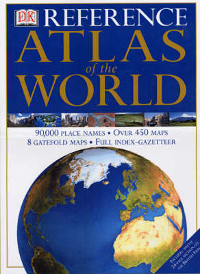
DK World Atlas (2000)
Seiten
2000
DK (Verlag)
978-0-7513-0718-4 (ISBN)
DK (Verlag)
978-0-7513-0718-4 (ISBN)
- Titel erscheint in neuer Auflage
- Artikel merken
Zu diesem Artikel existiert eine Nachauflage
Satellite images of the world produced from the most up-to-date remote-sensed data make up this edition, in which even sea features which are impossible to see with the naked eye, are revealed.
This atlas brings together the latest cartographic information with state-of-the-art satellite imagery and computerized terrain modelling, to take you on an unforgettable journey around the globe. More than 1500 illustrations show how the world really looks today. Authoritative and easy to use, the atlas begins with 12 double-page spreads that give a global overview of the physical and human world as it is today - the structure of the earth, its climate, its oceans, its population, economy and politics. Then each continent is surveyed in detail, with regional maps and satellite imagery presented at the same scale and projection. Accompanying texts describe the landscape, the political and cultural make-up of each region and the distribution of resources and economic activity. In addition to the satellite imagery, at the heart of the atlas are the regional pages, which combine high-quality mapping with photography, diagrams and landscape models - all fully explained in detailed text and captions - to provide an encyclopedic guide to the World in which we live. Major areas of the World are shown in detail on eight fold-out maps.
Computer-generated models of the landscape give an enhanced view of the physical structure of each region. At-a-glance maps spotlight interesting aspects of the area covered, such as regional divisions, key economic activities, land use and agriculture. The colour photographs on each spread convey the essence of the landscape and nature of each region. All 80,000 geographical names on the maps are listed in the index-gazetteer, complete with longitude and latitude co-ordinates, page and grid references. Each place-name and geographical feature is defined and located with a brief description, easy-to-read symbols, and alternative names and spellings. Essential information on all the World's countries is provided in the Countries Gazetteer, while the glossary provides explanations and definitions of the technical geographical terms that are used in the atlas.
| Erscheint lt. Verlag | 2.11.2000 |
|---|---|
| Verlagsort | London |
| Sprache | englisch |
| Maße | 3 x 6 mm |
| Themenwelt | Reisen ► Karten / Stadtpläne / Atlanten |
| ISBN-10 | 0-7513-0718-1 / 0751307181 |
| ISBN-13 | 978-0-7513-0718-4 / 9780751307184 |
| Zustand | Neuware |
| Informationen gemäß Produktsicherheitsverordnung (GPSR) | |
| Haben Sie eine Frage zum Produkt? |
Mehr entdecken
aus dem Bereich
aus dem Bereich
Buch | Hardcover (2022)
Klett (Verlag)
31,95 €


