


Israel
Travel Maps International Adventure Map
Seiten
2012
National Geographic Maps (Verlag)
978-1-56695-617-8 (ISBN)
National Geographic Maps (Verlag)
978-1-56695-617-8 (ISBN)
AdventureMaps provide global travellers with the perfect combination of detail and perspective, highlighting hundreds of points of interest and the diverse and unique destinations within the country. The front side of the Israel map details the northern region of the country, from its border with Lebanon to the north, to Syria and Jordan to the east and the Mediterranean Sea to the west. The reverse side of the map details Israel s southern region; bordering Jordan to the east, Egypt and the Mediterranean Sea to the west, and the Gulf of Aqaba to the southernmost point.
Founded in 1915 as the Cartographic Group, the first division of the National Geographic Society, National Geographic Maps has been responsible for illustrating the world around us through the art and science of mapmaking. Today, National Geographic Maps continues this mission by creating the world's best wall maps, recreation maps, atlases, and globes which inspire people to care about and explore their world. All proceeds from the sale of National Geographic maps go to support the Society's non-profit mission to increase global understanding and promote conservation of our planet through exploration, research, and education.
| Verlagsort | Evergreen |
|---|---|
| Sprache | englisch |
| Maße | 108 x 235 mm |
| Gewicht | 94 g |
| Themenwelt | Reisen ► Karten / Stadtpläne / Atlanten ► Naher Osten |
| Reisen ► Karten / Stadtpläne / Atlanten ► Asien | |
| ISBN-10 | 1-56695-617-X / 156695617X |
| ISBN-13 | 978-1-56695-617-8 / 9781566956178 |
| Zustand | Neuware |
| Haben Sie eine Frage zum Produkt? |
Mehr entdecken
aus dem Bereich


aus dem Bereich
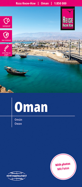
reiß- und wasserfest (world mapping project)
Karte (gefalzt) (2024)
Reise Know-How (Verlag)
14,00 €
Karte (gefalzt) (2024)
Freytag-Berndt und ARTARIA (Verlag)
12,90 €
Karte (gefalzt) (2023)
Reise Know-How (Verlag)
12,00 €