


Insight Travel Map: South Africa
Seiten
2012
|
2nd Revised edition
Insight Maps (Verlag)
978-1-78005-439-1 (ISBN)
Insight Maps (Verlag)
978-1-78005-439-1 (ISBN)
- Titel ist leider vergriffen;
keine Neuauflage - Artikel merken
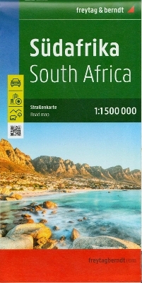
Travel Map South Africa is a double-sided, indexed, road map at
1 : 1 500 000 with city plans of Cape Town, Durban, Johannesburg and Pretoria. Additional maps of Kruger National Park, iSimangaliso Wetland Park and detailed maps of the Cape Peninsula and Robben Island are also included, each map is covered by its own separate index.
Places of interest are listed and accompanied by a wide range of pictorial symbols for instant recognition, these symbols have been colour coded by category, website addresses are also given for most entries.
In addition to the countries' road and rail networks, airports, major ports and shipping routes, this map provides a detailed picture of the topography through the use of relief shading. National parks, valleys, mountain ranges with peak heights, nature reserves, beach resorts and shipwrecks are clearly indicated.
This map has handy distance indicators in the margin and shows intermediate driving distances on main roads. The extensive legend is shown in 8 languages.
| Erscheint lt. Verlag | 1.10.2012 |
|---|---|
| Reihe/Serie | Insight Guides Travel Maps |
| Sprache | englisch |
| Themenwelt | Reisen ► Karten / Stadtpläne / Atlanten ► Afrika |
| ISBN-10 | 1-78005-439-4 / 1780054394 |
| ISBN-13 | 978-1-78005-439-1 / 9781780054391 |
| Zustand | Neuware |
| Haben Sie eine Frage zum Produkt? |
Mehr entdecken
aus dem Bereich


aus dem Bereich
Karte (gefalzt) (2024)
Freytag-Berndt und ARTARIA (Verlag)
12,90 €
Karte (gefalzt) (2023)
Freytag-Berndt und ARTARIA (Verlag)
12,90 €
reiß- und wasserfest (world mapping project)
Karte (gefalzt) (2024)
Reise Know-How (Verlag)
14,00 €