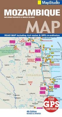
Road map Mozambique
Includes 4x4 routes
2011
|
4th ed
Struik Publishers,South Africa (Verlag)
978-1-77026-270-6 (ISBN)
Struik Publishers,South Africa (Verlag)
978-1-77026-270-6 (ISBN)
- Titel wird leider nicht erscheinen
- Artikel merken
This revised and updated detailed road map of Mozambique at a scale of 1:2 000 000 includes GPS co-ordinates, 4x4 routes and now shows topography. Tourist-friendly, this map provides major activities information stating when, where and what to do along with easy-to-read full-colour maps. Provides information boxes regarding interesting places to see, useful contact details and climate. Perfect for adventure holidays, it shows rivers, lakes, dams, swamps, border crossing times and colour photographs of the country. Includes a detailed index to place names. Provides interesting information on the history of the country, its people and cultures. Street maps include Maputo, Beira, Nampula, Vilankulo, Inhambane and Quelimane. Area maps include Quirimba Archipelago, Mozambique Island, Bazaruto region and Island, Inhambane, Inhaca Island, Maputo Bay, Zambezi River and Delta, Gorongosa national park and Maputaland.
| Erscheint lt. Verlag | 1.8.2011 |
|---|---|
| Sprache | englisch |
| Maße | 690 x 1000 mm |
| Gewicht | 77 g |
| Themenwelt | Reisen ► Karten / Stadtpläne / Atlanten ► Afrika |
| ISBN-10 | 1-77026-270-9 / 1770262709 |
| ISBN-13 | 978-1-77026-270-6 / 9781770262706 |
| Zustand | Neuware |
| Haben Sie eine Frage zum Produkt? |
Mehr entdecken
aus dem Bereich
aus dem Bereich
Karte (gefalzt) (2024)
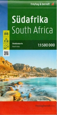
Freytag-Berndt und ARTARIA (Verlag)
12,90 €
Karte (gefalzt) (2023)
Freytag-Berndt und ARTARIA (Verlag)
12,90 €
reiß- und wasserfest (world mapping project)
Karte (gefalzt) (2024)
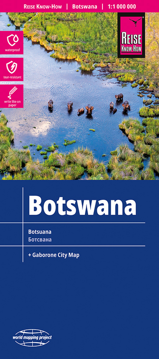
Reise Know-How (Verlag)
14,00 €


