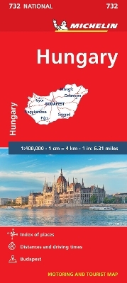
Hungary - Michelin National Map 732
Map
Seiten
2012
|
2020
Michelin Editions des Voyages (Verlag)
978-2-06-717192-3 (ISBN)
Michelin Editions des Voyages (Verlag)
978-2-06-717192-3 (ISBN)
- Titel ist leider vergriffen;
keine Neuauflage - Artikel merken
Zu diesem Artikel existiert eine Nachauflage
Michelin National Map Series help you easily plan your safe and enjoyable journey thanks to a comprehensive key, a complete name index as well a clever time & distance chart. Michelin's driving information will help you navigate safely in all circumstances, with scales from 1:150,000 to 1:28,500,000
(Edition updated in 2018) , MICHELIN National Map Hungary will give you an overall picture of your journey thanks to its clear and accurate mapping scale 1/400,000.
Our National Map Series will help you easily plan your safe and enjoyable journey thanks to a comprehensive key, a complete name index as well a clever time & distance chart. Michelin's driving information will help you navigate safely in all circumstances. In addition, some MICHELIN National Maps are cross-referenced with the MICHELIN Green Guide highlighting destinations worth stopping for! With MICHELIN National Maps, find more than just your way!
MICHELIN NATIONAL MAPS feature:
* Up-to-date mapping
* A scale adapted to the size of the country
* A clear and comprehensive key
* Distance and time chart
* Place name index
* Driving and road safety information
* Tourist sights information
Our maps are regularly updated even if the ISBN does not change.
| Erscheint lt. Verlag | 9.1.2012 |
|---|---|
| Verlagsort | Paris |
| Sprache | englisch |
| Maße | 113 x 250 mm |
| Gewicht | 118 g |
| Themenwelt | Reisen ► Karten / Stadtpläne / Atlanten ► Europa |
| ISBN-10 | 2-06-717192-5 / 2067171925 |
| ISBN-13 | 978-2-06-717192-3 / 9782067171923 |
| Zustand | Neuware |
| Informationen gemäß Produktsicherheitsverordnung (GPSR) | |
| Haben Sie eine Frage zum Produkt? |
Mehr entdecken
aus dem Bereich
aus dem Bereich
Straßen- und Freizeitkarte 1:250.000
Karte (gefalzt) (2023)
Freytag-Berndt und ARTARIA (Verlag)
12,90 €
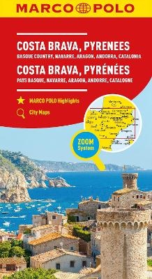
Baskenland, Navarra, Aragon, Andorra, Katalonien
Karte/Kartografie (2023)
MAIRDUMONT (Verlag)
11,95 €
Karte (gefalzt) (2024)
Freytag-Berndt und ARTARIA (Verlag)
12,90 €


