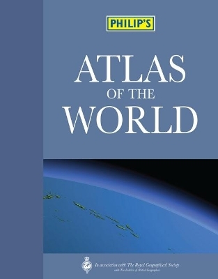
Philip's Atlas of the World
Seiten
2010
Philip's (Verlag)
978-1-84907-122-2 (ISBN)
Philip's (Verlag)
978-1-84907-122-2 (ISBN)
- Titel erscheint in neuer Auflage
- Artikel merken
Zu diesem Artikel existiert eine Nachauflage
The ultimate top-of-the-range atlas, recommended for home, college, business and library use, Philip's Atlas of the World is published in association with The Royal Geographical Society and is supplied in a protective slipcase for long-lasting protection.
The 193 pages of detailed physical and political maps in Philip's Atlas of the World have been fully revised and updated. Praised by the Daily Mail as 'clearer than The Times', the unique combination of relief colouring and hill-shading gives an exceptional portrayal of landforms.This new edition features the informative 'World Geography' section, packed with maps, diagrams and text explaining key world themes such as climate change, geology, trade, agriculture, industry and population.Also included are urban-area and city-centre maps for 69 of the world's largest and most economically important cities, including all major capitals - this edition features enlarged city-centre maps of Beijing (Olympic City 2008), Amsterdam, Bangkok and Moscow, with locator maps to indicate each city's position in its global context. In addition, the 'Images of Earth' section shows spectacular satellite views of 17 major cities and regions across the globe. Illustrated with flags and locator maps, the 34-page A-Z 'Gazetteer of Nations' provides key facts and figures for every sovereign state.The 84,000-name index, including geographical features and historical place names as well as towns and cities, gives full latitude/longitude co-ordinates and letter-figure grid references.
A 1,000-entry 'Geographical Glossary' explains the derivations of many unfamiliar place names - for example: wadi = dry watercourse; jebel = mountain.
| Erscheint lt. Verlag | 4.10.2010 |
|---|---|
| Zusatzinfo | 193pp section physical/political maps; 34pp 'World Cities'; 48pp 'World Geography'; 34pp gazetteer |
| Verlagsort | London |
| Sprache | englisch |
| Maße | 291 x 380 mm |
| Gewicht | 4222 g |
| Themenwelt | Reisen ► Karten / Stadtpläne / Atlanten ► Welt / Arktis / Antarktis |
| ISBN-10 | 1-84907-122-5 / 1849071225 |
| ISBN-13 | 978-1-84907-122-2 / 9781849071222 |
| Zustand | Neuware |
| Informationen gemäß Produktsicherheitsverordnung (GPSR) | |
| Haben Sie eine Frage zum Produkt? |
Mehr entdecken
aus dem Bereich
aus dem Bereich
mit Fakten und Infos zu allen Kontinenten
Buch | Hardcover (2024)
Kosmos Kartografie in der Franckh-Kosmos Verlags-GmbH & Co. …
24,00 €


