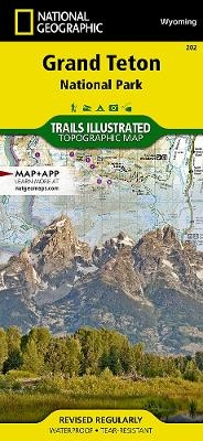
Grand Teton National Park
Trails Illustrated National Parks
Seiten
2013
|
2021st ed.
National Geographic Maps (Verlag)
978-1-56695-437-2 (ISBN)
National Geographic Maps (Verlag)
978-1-56695-437-2 (ISBN)
- Titel nicht im Sortiment
- Artikel merken
This Trails Illustrated topographic map is the most comprehensive recreational map for Wyoming's Grand Teton National Park. Coverage includes Fort Meade Recreation Area, Black Hills Experimental Forest, Bridger Teton National Forest, Caribou Targhee National Forest, Deerfield Lake, Jedediah Smith and Gros Ventre Wilderness areas, John D. Rockefeller Jr. Memorial Parkway, Colter Bay Village, Sturgis and Jackson, Snow King Mountain, Jackson Hole Mountain Resort, and Grand Targhee Resort. Also includes UTM grids for use with your GPS unit.
| Erscheint lt. Verlag | 26.9.2013 |
|---|---|
| Verlagsort | Evergreen |
| Sprache | englisch |
| Maße | 110 x 235 mm |
| Gewicht | 93 g |
| Themenwelt | Reisen ► Karten / Stadtpläne / Atlanten ► Nord- / Mittelamerika |
| ISBN-10 | 1-56695-437-1 / 1566954371 |
| ISBN-13 | 978-1-56695-437-2 / 9781566954372 |
| Zustand | Neuware |
| Haben Sie eine Frage zum Produkt? |
Mehr entdecken
aus dem Bereich
aus dem Bereich
Karte (gefalzt) (2024)
Freytag-Berndt und ARTARIA (Verlag)
12,90 €
Karte (gefalzt) (2023)
Reise Know-How (Verlag)
12,00 €
Karte (gefalzt) (2023)
Reise Know-How (Verlag)
12,00 €


