Introducing Geographic Information Systems with ArcGIS
A Workbook Approach to Learning GIS
Seiten
2009
|
2nd Revised edition
John Wiley & Sons Ltd (Verlag)
978-0-470-39817-3 (ISBN)
John Wiley & Sons Ltd (Verlag)
978-0-470-39817-3 (ISBN)
- Titel erscheint in neuer Auflage
- Artikel merken
Zu diesem Artikel existiert eine Nachauflage
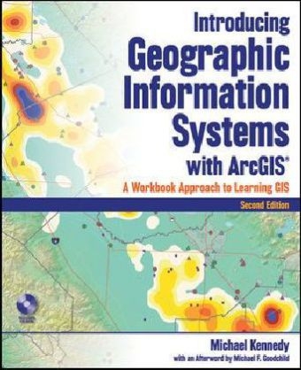
A unique approach to learning and teaching GIS, updated for ArcGIS 9. 3 Introducing Geographic Information Systems with ArcGIS, Second Edition serves as both an easy-to-understand introduction to GIS and a hands-on manual for the ArcGIS 9. 3 software.
A unique approach to learning and teaching GIS, updated for ArcGIS 9.3 Introducing Geographic Information Systems with ArcGIS, Second Edition serves as both an easy-to-understand introduction to GIS and a hands-on manual for the ArcGIS 9.3 software. This combination theory-workbook approach is designed to quickly bring the reader from GIS neophyte to well-informed GIS user from both a general knowledge and practical viewpoint. Replacing the traditional separate texts on theory and application, the book integrates a broad introduction to GIS with a software-specific workbook for ESRIs ArcGIS in a single comprehensive volume.'Easy to read, interesting, and at times quite amusing, the new edition is even more accessible to a wide variety of readers. Each chapter presents two mutually supporting sections: Overview- a discussion of theory and ideas relating to GIS, laying the groundwork for spatial analysis Step-by-step instructions on how to use ArcGIS software.
There are sixty exercises and nine review exercises throughout the book, covering most of the topics students need to gain GIS jobs or continue work in GIS or GIScience Complete with a CD-ROM containing data for working out all of the exercises, this Second Edition provides an updated examination of file geodatabases including vector, raster, and 3D GIS with terrains. On completion of this text, students will have acquired in-depth understanding of GIS theory and how to operate the ArcGIS software. They will have been exposed, through additional hands-on demonstrations, to virtually everything about GIS that supports spatial analysis. Written by an author with over thirty years of experience writing software manuals, Introducing Geographic Information Systems with ArcGIS, Second Edition puts readers on the quick road to mastery of GIS.
Foreword. Preface to the Second Edition. Preface to the First Edition. Introduction. PART I Basic Concepts of GIS. CHAPTER 1 Some Concepts That Underpin GIS. CHAPTER 2 Characteristics and Examples of Spatial Data. CHAPTER 3 Products of a GIS: Maps and Other Information. CHAPTER 4 Structures for Storing Geographic Data. CHAPTER 5 Geographic and Attribute Data: Selection, Input, and Editing. PART II Spatial Analysis and Synthesis with GIS. CHAPTER 6 Analysis of GIS Data by Simple Examination. CHAPTER 7 Creating Spatial Data Sets Based on Proximity, Overlay, and Attributes. CHAPTER 8 Spatial Analysis Based on Raster Data Processing. CHAPTER 9 Other Dimensions, Other Tools, Other Solutions. Index.
| Zusatzinfo | illustrations |
|---|---|
| Verlagsort | Chichester |
| Sprache | englisch |
| Maße | 191 x 235 mm |
| Gewicht | 1118 g |
| Einbandart | Paperback |
| Themenwelt | Naturwissenschaften ► Geowissenschaften ► Geografie / Kartografie |
| ISBN-10 | 0-470-39817-5 / 0470398175 |
| ISBN-13 | 978-0-470-39817-3 / 9780470398173 |
| Zustand | Neuware |
| Haben Sie eine Frage zum Produkt? |
Mehr entdecken
aus dem Bereich
aus dem Bereich
Globale physikalische Felder und Prozesse in der Erde
Buch | Hardcover (2024)
Springer Spektrum (Verlag)
49,99 €
über eine faszinierende Welt zwischen Wasser und Land und warum sie …
Buch | Hardcover (2023)
dtv (Verlag)
24,00 €


