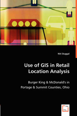
Use of GIS in Retail Location Analysis
Burger King & McDonald's in Portage & Summit Counties, Ohio
Seiten
2008
VDM Verlag Dr. Müller e.K.
978-3-8364-8586-9 (ISBN)
VDM Verlag Dr. Müller e.K.
978-3-8364-8586-9 (ISBN)
- Titel nicht im Sortiment
- Artikel merken
The choice of a store location has a profound effect on the entire business of a retail operation. Since GIS can be used to assemble large volumes of data from various sources with different map scales and in different coordinate systems, it is considered an important tool in location analysis. GIS offers a large number of techniques that have been successfully used by the retail businesses in location planning and strategic retail decision-making and applications.
The objective of this retail location analysis is to develop and apply a methodology for analyzing the relationship between fast food store performance and the various socio-economic and demographic factors like the ethnic composition of population and median household income of Portage and Summit Counties in Ohio.
This study conducts a retail location analysis of the relationship between the store performance of McDonald's and Burger King. Analytical procedures in GIS and statistical techniques have been applied using commercially available software to determine the impact of various demographic and socio-economic factors on store performance.
Niti Duggal Niti Duggal has a Ph.D. in Political Geography from Jawaharlal Nehru University, India and studied GIS at Kent State University, USA. She has taught Geography at Bhagat Singh College, New Delhi and DAV College, Chandigarh. Her other research interests include Spatial Regression and Cluster Analysis. She lives with her husband in Washington DC.
| Sprache | englisch |
|---|---|
| Maße | 150 x 220 mm |
| Gewicht | 215 g |
| Themenwelt | Mathematik / Informatik ► Informatik |
| Naturwissenschaften ► Geowissenschaften ► Allgemeines / Lexika | |
| Schlagworte | Geoinformationssystem |
| ISBN-10 | 3-8364-8586-9 / 3836485869 |
| ISBN-13 | 978-3-8364-8586-9 / 9783836485869 |
| Zustand | Neuware |
| Haben Sie eine Frage zum Produkt? |
Mehr entdecken
aus dem Bereich
aus dem Bereich
Physische Geographie und Humangeographie
Buch | Hardcover (2020)
Springer (Verlag)
109,99 €


