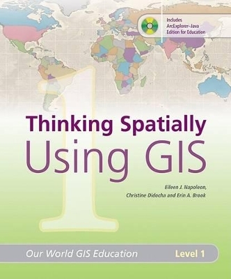
Thinking Spatially Using GIS
Environmental Systems Research Institute Inc.,U.S.
978-1-58948-180-0 (ISBN)
- Titel ist leider vergriffen;
keine Neuauflage - Artikel merken
"Thinking Spatially Using GIS" is a four-module book that provides grade 3-6 instructors with activities and information that will help students improve their understanding of geography and geographic information systems (GIS). The lessons foster an understanding of GIS regardless of the ability to access computers.Early exposure to geography, spatial thinking, and GIS helps students learn more about the world around them. With this first volume in the "Our World GIS Education" series, teachers and students use geographic tools - maps, geographic data, and GIS - to progress from a basic understanding of spatial concepts toward recognizing patterns and analyzing map trends. Students reinforce and improve their basic map-reading skills and continue to sharpen those skills as the book prompts them to analyze and think critically about the data.
After receiving her master's degree in geography, Eileen J. Napoleon went to work as a geographer, first for the U.S. Forest Service, and later for ESRI, where she has worked in GIS education for the last 15 years. Eileen remains passionate about geography and education and especially enjoys teaching GIS and geographic concepts to those who are new to the subject. After graduating with a degree in geography and GIS, Erin A. Brook spent five years working for ESRI Canada as the K - 12 industry manager. While there, she helped market and develop ESRI's education programs for students in kindergarten through grade 12. She incorporated GIS directly into required geography curriculum and made GIS technology available to students across Canada. Erin currently works at ESRI in Redlands as an education specialist and looks forward to continuing work on educational materials for both teachers and students.
| Erscheint lt. Verlag | 17.7.2008 |
|---|---|
| Reihe/Serie | Our World GIS Education ; Level 1 |
| Zusatzinfo | full colour illustrations |
| Verlagsort | Redlands |
| Sprache | englisch |
| Maße | 229 x 279 mm |
| Themenwelt | Schulbuch / Wörterbuch |
| Naturwissenschaften ► Geowissenschaften ► Geografie / Kartografie | |
| ISBN-10 | 1-58948-180-1 / 1589481801 |
| ISBN-13 | 978-1-58948-180-0 / 9781589481800 |
| Zustand | Neuware |
| Haben Sie eine Frage zum Produkt? |
aus dem Bereich


