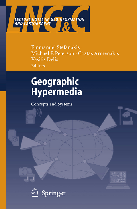
Geographic Hypermedia
Springer Berlin (Verlag)
978-3-540-34237-3 (ISBN)
Foundations of Geographic Hypermedia.- Geographic Hypermedia.- New Media: From Discrete, to Distributed, to Mobile, to Ubiquitous.- Design Issues Associated with Discrete and Distributed Hypermedia GIS.- Data Resources and Accessibility Issues.- Using Data from Earth Orbiting Satellites in Geo-Hypermedia Applications: A Survey of Data Resources.- Exploring the Use of a Virtual Map Shop as an Interface for Accessing Geographical Information.- Atlases from Paper to Digital Medium.- Hypermedia Maps and the Internet.- In Pursuit of Usefulness: Resetting the Design Focus for Mobile Geographic Hypermedia Systems.- Cruiser: A Web in Space.- Technologies for Content Integration.- Merging Hypermedia GIS with Spatial On-Line Analytical Processing: Towards Hypermedia SOLAP.- A Hypermedia Afghan Sites and Monuments Database.- Towards the Development of Open Cartographic Hypermedia Systems.- Standards for Geographic Hypermedia: MPEG, OGC and co..- Semantically-Aware Systems: Extraction of Geosemantics, Ontology Engineering, and Ontology Integration.- Analytical Functionality and Geovisualizations.- Towards a Typology of Interactivity Functions for Visual Map Exploration.- A Framework for Using Coordinated Displays for the Analysis of Multidimensional, Spatial, and Temporal Data.- Visualization and Hypermedia for Decision Making.- Geovisualization of Vegetation Patterns in National Parks of the Southeastern United States.- Visualization of Spatial Change.- Scalable Vector Graphics Interfaces for Geographic Applications.- Geographic Hypermedia: Applications and Services.- About the Role of Cartographic Presentation for Wayfinding.- Wireless Campus LBS: Building Campus-Wide Location Based Services Based on WiFi Technology.- Developing Web-GIS Applications According to HCI Guidelines: The Viti-Vaud Project.- High Definition Geovisualization: Earth and Biodiversity Sciences for Informal Audiences.- Mobile Geographic Education: The MoGeo System.
From the reviews:
"The edited book Geographic Hypermedia: Concepts and Systems is an impressive collection of focused chapters dealing with the advancement of cartography, geographic information systems (GIS) and geovisualization within the science of geographic information. ... This book makes an important and timely contribution in many ways. ... The wide range of issues covered will make this book suitable for use in advanced cartography courses, and as a reference text for graduate students and researchers ... ." (Suzana Dragicevic, Geomatica, Vol. 61 (2), 2007)
| Erscheint lt. Verlag | 27.9.2006 |
|---|---|
| Reihe/Serie | Lecture Notes in Geoinformation and Cartography |
| Zusatzinfo | XXIX, 467 p. |
| Verlagsort | Berlin |
| Sprache | englisch |
| Maße | 155 x 235 mm |
| Gewicht | 1950 g |
| Themenwelt | Naturwissenschaften ► Geowissenschaften ► Geografie / Kartografie |
| Schlagworte | Atlas • Cartography • Database • geographical information system • geographic data • geographic information systems • Geoinformationssysteme • GIS • Hypermedia • information system • Modeling • Multimedia • Orbit • Satellite • Vegetation • Virtual Reality • Visualization |
| ISBN-10 | 3-540-34237-0 / 3540342370 |
| ISBN-13 | 978-3-540-34237-3 / 9783540342373 |
| Zustand | Neuware |
| Haben Sie eine Frage zum Produkt? |
aus dem Bereich


