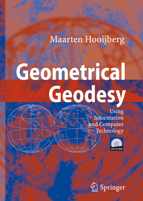
Geometrical Geodesy
Springer Berlin (Verlag)
978-3-540-25449-2 (ISBN)
Maarten Hooijberg studied Geodetic Engineering at the College of Advanced Technology, Utrecht, The Netherlands, and received his BSc degree in 1959. Since 1959 he has worked as a civil engineer, hydrographer and land surveyor in many countries throughout the world: Switzerland, United Kingdom, the rainforests of South-East Asia and South America, the swamps of West Africa, and the sands of the Arabian Peninsula. In 1970 Hooijberg joined the Royal Dutch Shell Group. From 1974 until 1986, he was the independent head of topographical services at Billiton International Metals in the Northern Hemisphere, and of Shell International Metals in the Southern Hemisphere. In 1986 he was appointed secretary of the office directorate of Shell International Petroleum Maatschappij in The Hague. In 1992 he retired from Royal Dutch Shell. Hooijberg has written many papers in the fields of hydrography and topography. This handbook has evolved through the author's 25 years of experience in advising and writing on geodetic methods.
Time and Reference Systems.- Dealing with Geoscience Branches.- The Figure of Earth.- 3D-Positioning and Mapping.- Plane and Spherical Earth Systems.- Classical Datums and Reference Systems.- Spatial Coordinate Calculations.- Geodetic Arc Calculations.- Conversions and Zone Systems.- Conformal Projections - Using Reference Ellipsoids.- Astrolabe Observations.- About History - A Bird's-Eye View.- Tools and Topics.- Computing Techniques.- Information and Computer Technology.- ICT Applied to Sea Surveying.- Using Computers.- FORTRAN Application Programs.- International Organisations.
From the reviews:
"Geometrical Geodesy: Using Information and Computer Technology states that it is a reference manual for geodesists and scientists in the field of Earth sciences. ... Graduate students may find it useful for course-work and research. ... The 19 chapters cover what would be expected in a geodesy book ... ." (Peter Dare, Geomatica, Vol. 62 (2), 2008)
From the reviews:"Geometrical Geodesy: Using Information and Computer Technology states that it is a reference manual for geodesists and scientists in the field of Earth sciences. … Graduate students may find it useful for course-work and research. … The 19 chapters cover what would be expected in a geodesy book … ." (Peter Dare, Geomatica, Vol. 62 (2), 2008)
| Erscheint lt. Verlag | 31.10.2007 |
|---|---|
| Zusatzinfo | XXIII, 439 p. |
| Verlagsort | Berlin |
| Sprache | englisch |
| Maße | 193 x 270 mm |
| Gewicht | 1115 g |
| Themenwelt | Naturwissenschaften ► Geowissenschaften ► Geologie |
| Naturwissenschaften ► Geowissenschaften ► Geophysik | |
| Schlagworte | Conformal projections • Fundament • Geodäsie • Geodesy • Geoids • Parallel computers • Similarity • Similarity transformations • Structural Geology • Zone systems |
| ISBN-10 | 3-540-25449-8 / 3540254498 |
| ISBN-13 | 978-3-540-25449-2 / 9783540254492 |
| Zustand | Neuware |
| Haben Sie eine Frage zum Produkt? |
aus dem Bereich
