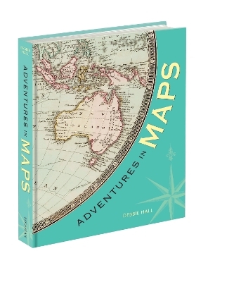
Adventures in Maps
Bodleian Library (Verlag)
978-1-85124-545-1 (ISBN)
The twenty intriguing journeys and routes featured in this book range from distances of a few miles to great adventures across land, sea, air and space. Some describe the route that a traveller followed, some are the results of exploration and others were made to show future travellers the way to go, accompanied by useful and sometimes very beautiful maps.
Sea charts bring to life the sixteenth-century adventures of Richard Hawkins sailing to South America, the surveys carried out by Captain James Cook and the historic sailing route followed by Naomi James, pioneering solo yachtswoman of the 1970s. An early strip atlas illustrates the road journeys of Daniel Defoe and America’s iconic Route 66 is shown in an incredibly detailed mid-twentieth century map. Also featured are the stories of the Arctic explorations needed to enable a Great Circle route by air over Greenland, the archaeological expeditions of David Hogarth along the Euphrates and Aurel Stein on the Silk Road, pilgrims making their way across Europe, Thomas Cook’s first package tour, the first flight from London to Manchester, and the surveys of the Moon that ultimately facilitated the first landing.
These inspirational accounts are drawn from diaries, letters, memoirs and travelogues: all illustrated with fascinating maps.
Debbie Hall is a Senior Library Assistant in the Map Room of the Bodleian Library.
INTRODUCTION 1
Mapping a journey
TRAVELLERS’ TALES
PILGRIMAGE 14
Bernhard von Breydenbach’s journey to Jerusalem, 1482
CAPTAIN COOK SETS OUT 23
Navigating the Atlantic and the Pacific from the 1750s
THE LONELIEST ROCK IN THE WORLD 34
Stranded on Rockall, 1811
FAR FLUNG SOCIAL CALLS 40
The travels of Constance Frederica Gordon-Cumming, 1877
THE RIVER THAMES IN WRITING 49
Three men in a boat, 1889
TRAVELS OF A WANDERING SCHOLAR 56
Hogarth’s journey through history, 1894
FOLLOWING THE SILK ROAD 63
Aurel Stein’s travels in Central Asia from the 1900s
TAKING FLIGHT 73
From London to Manchester, 1910
THE RIGHT TO ROAM 81
The mass trespass on Kinder Scout, 1932
AROUND THE WORLD 92
Naomi James’s solo voyage, 1977–78
ADVENTURES IN WAYFINDING
ADVENTURE ON THE HIGH SEAS 105
Richard Hawkins’ journey to South America, 1593
ON THE ROAD THROUGH BRITAIN 114
Daniel Defoe’s tours in the 1720s
SURVEYING INDIA 124
James Rennell’s surveys, 1760s
ACROSS ENGLAND BY WATER 134
The Kennet and Avon Canal, 1794
THE BEGINNING OF THE RAILWAYS 147
The Liverpool and Manchester Railway, 1830
FROM LEICESTER TO THE FIRST CATARACT 160
Thomas Cook’s Tours, from 1841
THE BRITISH ARCTIC AIR ROUTE EXPEDITION 171
Surveying Greenland, 1930–31
GET YOUR KICKS 180
Across America by road, 1946
FLY ME TO THE MOON 189
Planning for the Moon landings, 1969
EPILOGUE 198
The water’s journey to Carfax
NOTES 206
BIBLIOGRAPHY & FURTHER READING 208
PICTURE CREDITS 213
INDEX 215
| Erscheinungsdatum | 12.07.2024 |
|---|---|
| Verlagsort | Oxford |
| Sprache | englisch |
| Maße | 170 x 224 mm |
| Gewicht | 820 g |
| Einbandart | gebunden |
| Themenwelt | Naturwissenschaften ► Geowissenschaften ► Geografie / Kartografie |
| ISBN-10 | 1-85124-545-6 / 1851245456 |
| ISBN-13 | 978-1-85124-545-1 / 9781851245451 |
| Zustand | Neuware |
| Haben Sie eine Frage zum Produkt? |
aus dem Bereich


