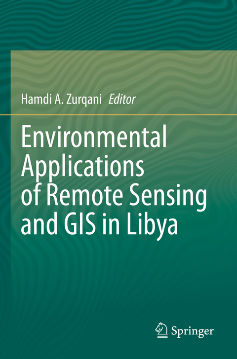
Environmental Applications of Remote Sensing and GIS in Libya
Springer International Publishing (Verlag)
978-3-030-97812-9 (ISBN)
This book addresses the environmental challenges that Libya and similar countries in the regions are currently facing. Each chapter of this book provides a methodology using remote sensing (RS) and geographical information systems (GIS) dealing with one of these environmental challenges such as monitoring and mapping soil salinity and prediction of soil properties, monitoring and mapping of land degradation, spatiotemporal land use/cover, agricultural drought monitoring, hydrological applications such as spatial rainfall distribution, surface runoff, geo-morphometric analysis, flood hazard assessment and mapping, hydrologic and hydraulic modeling, pollution hazard assessment, and climate-related geophysical processes. This book also assesses the impacts of climate change on natural resources using both RS and GIS, as well as other applications, covering different parts of Libya.
This book is beneficial for graduate students, researchers, policy planners, and stakeholders in Libya as well as other countries that share similar environmental issues. Also, the methodologies followed in the book's chapters can be applied to any other regions around the world with similar landscapes and climatic conditions.
lt;b>Dr. Hamdi A. Zurqani is an Assistant Professor of Geospatial Science in Natural Resource Management and Conservation at the University of Arkansas Agricultural Experiment Station, Arkansas Forest Resources Center, University of Arkansas at Monticello, Monticello, AR, USA. He is also an FAA (i.e., Pt107) Certified sUAS/Drones Pilot, and has used this skill to enhance his knowledge of remote sensing and GIS. Dr. Zurqani is a recognized expert as a result of his internationally acclaimed work in the areas of environmental information science, remote sensing, geospatial analysis, land evaluation, sustainability, pedology, and soil science education. He has conducted research across the world, including the United States of America, and Africa, and has served as PI, co-PI, or co-investigator on several grants-funded research projects. Dr. Zurqani is highly collaborative as evidenced by his publications. He is the author and co-author of many peer-reviewed publications, book chapters, and technical publications (including teaching laboratory manuals). He also edited two books with Springer Nature (i.e., "The Soils of Libya", and "Environmental Applications of Remote Sensing and GIS in Libya"), and has published widely in many peer-review journals (e.g., International Journal of Applied Earth Observation and Geoinformation (Elsevier); Remote Sensing in Earth Systems Sciences (Springer Nature); Scientific Reports (Nature); Frontiers in Environmental Science (Frontiers); Geoderma (Elsevier); Land (MDPI); Urban Forestry & Urban Greening (Elsevier), and others). Dr. Zurqani is a member of the Editorial Board for Remote Sensing (MDPI) Journal, counseling outcome, and research evaluation. He also was appointed to serve as a Guest Editor for the Special Issue "Applications of Remote Sensing in Earth Observation and Geo-Information Science". In addition, Dr. Zurqani conducted peer-review for many journals including Journal of Environmental Informatics, Applied Sciences, SN Applied Sciences, Remote Sensing, Geo-spatial Information Science, AgriEngineering, Sensors, Heliyon, Geosciences, Land, Soil Systems, Water, Agronomy, Agriculture, Resources, Sustainability, Arid Land Research and Management, Quaestiones Geographiceae, Geocarto International, International Journal of Environmental Research and Public Health, Natural Hazards, and Conference of the Arabian Journal of Geosciences. Dr. Zurqani conducts cutting-edge research in the field of Environmental Information Science, Remote Sensing, Land use management/ planning, change detection of landscape degradation, and Geographic Information System (GIS) models. He has focused on his research efforts on the development of novel applications for new technologies in analyzing spatial data, remote sensing, geostatistical modeling of environmental changes such as erosion, mapping and predicting soil salinity, and land use/ land cover changes. His new publications include: "Mapping and Quantifying Agricultural Irrigation in Heterogeneous Landscapes Using Google Earth Engine" in the Journal of Remote Sensing Applications: Society and Environment; "Evaluating the integrity of forested riparian buffers over a large area using LiDAR data and Google Earth Engine" in the Journal of Scientific Reports; "Mapping Urbanization Trends in a Forested Landscape Using Google Earth Engine" in the Journal of Remote Sensing in Earth Systems Sciences; "Geospatial analysis of land use change in the Savannah River Basin using Google Earth Engine" in the International Journal of Applied Earth Observation and Geoinformation; and "Application of Non-Hydraulic Delineation Method of Flood Hazard Areas Using LiDAR-Based Data" as well as "Assessing ecosystem services of atmospheric calcium and magnesium deposition for potential soil inorganic carbon sequestration" in the Geosciences Journal.
1. Introduction to "Environmental Applications of Remote Sensing and GIS in Libya".- 2. Application of remote sensing and GIS in land cover/land use mapping and change detection using Google Earth Engine platform: a case study in northwestern Libya.- 3. Evaluation of selected vegetation indices to assess rangeland vegetation in eastern Libya.- 4. Spatiotemporal analysis of Vegetation Health Index (VHI) and drought patterns in Libya based on remote sensing time series.- 5. Integration of remotely sensed data and machine learning technique for spatial prediction of selected soil properties in northwestern Libya.- 6. Field and laboratory estimation of soil erodibility, erosion and degradation of the semi-arid Aljabal Alkhdar region, Libya.- 7. DRAINMOD applications to design drainage systems in Libya using soil salinity data predicted by GIS, remote sensing and Artificial Neural Networks.- 8. Surface water potential and suitable sites identification for RWH in the semi-arid and arid watershed of Wadi Sammalus, northeast Libya using GIS and Remote Sensing approach.- 9. Stepwise approach for morphometric modeling of Wadi Zamzam watershed in north-western Libya using GIS and remote sensing techniques.- 10. Geospatial mapping and analysis of the 2019 Flood Disaster extent and impact in the city of Ghat in southwestern Libya using Google Earth Engine and deep learning technique.- 11. Oil pollution monitoring and detection using GIS and remote sensing techniques: case study from Libya.- 12. Conclusions, and Recommendations for Environmental Applications of Remote Sensing and GIS in Libya.
| Erscheinungsdatum | 02.07.2023 |
|---|---|
| Zusatzinfo | XVI, 249 p. 1 illus. |
| Verlagsort | Cham |
| Sprache | englisch |
| Maße | 155 x 235 mm |
| Gewicht | 415 g |
| Themenwelt | Naturwissenschaften ► Geowissenschaften ► Geologie |
| Schlagworte | Cloud Computing • environmental conservation • Geospatial Analysis • image classification • Remote Sensing |
| ISBN-10 | 3-030-97812-5 / 3030978125 |
| ISBN-13 | 978-3-030-97812-9 / 9783030978129 |
| Zustand | Neuware |
| Informationen gemäß Produktsicherheitsverordnung (GPSR) | |
| Haben Sie eine Frage zum Produkt? |
aus dem Bereich


