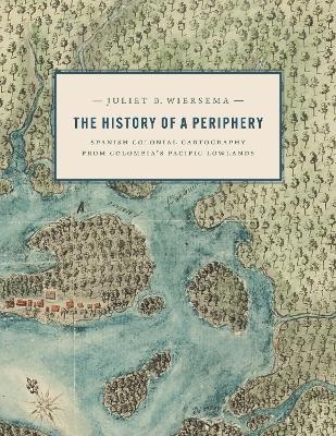
The History of a Periphery
University of Texas Press (Verlag)
978-1-4773-2774-6 (ISBN)
During the late Spanish colonial period, the Pacific Lowlands, also called the Greater Chocó, was famed for its rich placer deposits. Gold mined here was central to New Granada’s economy yet this Pacific frontier in today’s Colombia was considered the “periphery of the periphery.” Infamous for its fierce, unconquered Indigenous inhabitants and its brutal tropical climate, it was rarely visited by Spanish administrators, engineers, or topographers and seldom appeared in detail on printed maps of the period.
In this lavishly illustrated and meticulously researched volume, Juliet Wiersema uncovers little-known manuscript cartography and makes visible an unexamined corner of the Spanish empire. In concert with thousands of archival documents from Colombia, Spain, and the United States, she reveals how a "periphery" was imagined and projected, largely for political or economic reasons. Along the way, she unearths untold narratives about ephemeral settlements, African adaptation and autonomy, Indigenous strategies of resistance, and tenuous colonialisms on the margins of a beleaguered viceroyalty.
Juliet B. Wiersema is an associate professor in the Department of Art and Art History at the University of Texas at San Antonio. She is the author of Architectural Vessels of the Moche: Ceramic Diagrams of Sacred Space in Ancient Peru.
Acknowledgments
Abbreviations
Glossary
Introduction
1. New Granada: A Categorically Different Viceroyalty
2. Coming into View: The Pacific Lowlands in Manuscript Maps
3. The Map of the Atrato River and Pueblos of Cuna Indians: The Atrato Vigía and the Short-Lived Cuna Reducción of Murindo, 1759–1778
4. The Map of the Chocó, Panama, and Cupica: The Unrealized Potential of a Pacific Port, 1777–1808
5. The Map of the Dagua River Region: Las Juntas, Sombrerillo, and African Agency in the Pacific Lowlands, 1739–1786
6. The Map of the Yurumanguí Indians: The “Discovery” and Decimation of the Pacific Lowlands’ Indigenous Inhabitants, 1742–1780
Conclusions: What Manuscript Maps Contribute to the Study of Colonial Latin America
Appendix A: Transcribed Text from Manuscript Map Legends
Appendix B: Technical Study of the Manuscript Map of Dagua River Region, Colombia
Notes
References
Index
| Erscheinungsdatum | 11.01.2024 |
|---|---|
| Zusatzinfo | one 8-page color insert, 66 b&w illustrations |
| Verlagsort | Austin, TX |
| Sprache | englisch |
| Maße | 216 x 279 mm |
| Gewicht | 821 g |
| Themenwelt | Kunst / Musik / Theater ► Kunstgeschichte / Kunststile |
| Geisteswissenschaften ► Geschichte ► Regional- / Ländergeschichte | |
| Naturwissenschaften ► Geowissenschaften ► Geografie / Kartografie | |
| ISBN-10 | 1-4773-2774-6 / 1477327746 |
| ISBN-13 | 978-1-4773-2774-6 / 9781477327746 |
| Zustand | Neuware |
| Haben Sie eine Frage zum Produkt? |
aus dem Bereich


