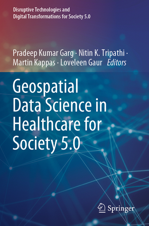
Geospatial Data Science in Healthcare for Society 5.0
Springer Verlag, Singapore
978-981-16-9478-3 (ISBN)
Pradeep Kumar Garg is currently a professor in the Department of Civil Engineering, Indian Institute of Technology Roorkee. Dr. Garg received his B.E. and M.E. degrees in civil engineering from the University of Roorkee, in 1980 and 1982, respectively. He obtained his Ph.D. in remote sensing from the University of Bristol, UK. His areas of interest include satellite image analysis, land-use mapping, land surveying, digital image processing, GPS survey, and GIS. Dr. Garg has over 110 journals and over 150 conference publications to his credit. He has supervised 27 Ph.D. thesis and over 80 master theses, as well as written many textbooks on Geospatial Data and Technology. Nitin K. Tripathi is a Professor of Remote Sensing (RS) and Geographical Information Systems (GIS) at the Asian Institute of Technology, Thailand. Dr. Tripathi has over 32 years of teaching and research experience. Dr. Tripathi obtained his B.Tech. degree in 1984 from NIT Warangal, India, and M.Tech. and a Ph.D. degree in Remote Sensing from IIT Kanpur. Dr. Tripathi has 214 publications including 02 books and 12 book chapters to his credit. He is an acclaimed researcher in the remote sensing and GIS applications field. He has supervised 47 doctoral and 156 master’s thesis where the majority of the research topics are focused on the applications of GIS and RS in climate change impacts on water resources, agriculture and health, location-based information services and also employing AI and Machine Learning for predictive modeling. Martin Kappas is a university professor of Geography and the head of the Cartography, GIS, and Remote Sensing Section of the Georg-August University of Göttingen. His remote sensing laboratoryis a full member of the European Association of Remote Sensing Laboratories (EARSeL) and takes part as an active member of Competence Network for Research to Combat Desertification (DesertNET). He is a member of the Göttingen International Health Network (GIHN). His research interest is landscape evaluation using geoinformatics techniques and field spectrometry. His research theme is the application of remote sensing and GIS to study land-cover/land-use change and dynamics. He has published over 150 peer-reviewed publications and several scientific books and textbooks such as Global Health. A Challenge for Interdisciplinary Research by Kappas, M., Gross, U., Kelleher, D. (eds., 2012). Loveleen Gaur is the Professor and Program Director (Artificial Intelligence and Business Intelligence and Data Analytics), Amity University, India. She is a senior IEEE member and Series Editor with CRCand Wiley. Prof. Gaur has significantly contributed to enhancing scientific understanding by participating in over three hundred scientific conferences, symposia, and seminars by chairing technical sessions and delivering plenary and invited talks. She has a specialization in artificial intelligence, machine learning, data analytics, and business intelligence. She has chaired various positions in International Conferences of repute and is a reviewer with top-rated journals of IEEE, SCI, and ABDC Journals. She has been honored with prestigious National and International awards. She is also actively involved in various reputed projects of the Government of India and abroad.
Potential of Geospatial Data in Healthcare for Society 5.0.- Geospatial Health Data Analytics for Society 5.0.- Relevance of spatio-temporal data visualisation techniques in healthcare system.- GIS and Remote Sensing for public health.- Infectious diseases and their tracking in GIS
| Erscheinungsdatum | 20.04.2023 |
|---|---|
| Reihe/Serie | Disruptive Technologies and Digital Transformations for Society 5.0 |
| Zusatzinfo | 73 Illustrations, color; 43 Illustrations, black and white; VIII, 318 p. 116 illus., 73 illus. in color. |
| Verlagsort | Singapore |
| Sprache | englisch |
| Maße | 155 x 235 mm |
| Themenwelt | Informatik ► Weitere Themen ► Bioinformatik |
| Naturwissenschaften ► Geowissenschaften ► Geografie / Kartografie | |
| Technik | |
| ISBN-10 | 981-16-9478-8 / 9811694788 |
| ISBN-13 | 978-981-16-9478-3 / 9789811694783 |
| Zustand | Neuware |
| Informationen gemäß Produktsicherheitsverordnung (GPSR) | |
| Haben Sie eine Frage zum Produkt? |
aus dem Bereich


