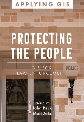
Protecting the People
Environmental Systems Research Institute Inc.,U.S. (Verlag)
978-1-58948-729-1 (ISBN)
Protecting the People: GIS for Law Enforcement explores a collection of real-life stories about law enforcement agencies successfully using GIS for crime analysis, open policing, and field mobility. Through these stories, this book illustrates how police departments and law enforcement organizations use GIS to enable data-driven crime-analysis strategies and drive decision making in everyday operations.
The case studies in this book cover:
Understanding data and crime analysis
Streamlining improvements to police operations
Developing methods for engaging citizens
The book also includes a section on next steps that provides ideas, strategies, tools, and actions to help jump-start your own use of GIS for law enforcement. A collection of online resources, including additional stories, videos, new ideas and concepts, and downloadable tools and content, complements this book.
Learn how location intelligence and the geographic approach can improve crime analysis, streamline operations, and promote community policing initiatives.
John Beck is the Director of Law Enforcement Solutions at Esri where he is responsible for helping police agencies worldwide understand and implement GIS for every mission. Matt Artz is a content strategist for Esri Press. He brings a wide breadth of experience in environmental science, technology, and marketing.
Introduction
How to use this book
Part 1: Analysis
Smart policing gets a boost from enterprise GIS
St. Petersburg Police Department
Collaborating to address crime that arrests alone won’t solve
Philadelphia Police Department
Sharing maps, apps, and dashboards to improve public safety
St. Louis Police Department
Enhancing strategic planning and crime analysis with data analytics
Altoona Police Department
Part 2: Operations
Saving time and money by increasing field data collection efficiency
Redlands Police Department
Purpose-driven apps save time, help officers focus on solving crimes
Houston Police Department
Deploying an app to track fugitives
San Juan County Sheriff
Adopting digital apps to secure the state fair
Illinois State Police
Planning and managing security for a train celebration
Ogden City Police Department
Securing the World Series with real-time technology
Cobb County, Georgia
Part 3: Citizen engagement
Using maps and apps to strengthen community-based policing
Toronto Police Service
Mapping Canada’s missing children to quickly reunite them with family
Missing Children Society of Canada
Apps help provide targeted assistance to people experiencing homelessness
San Bernardino County Sheriff’s Department
Spatial analysis of opioid use gets lifesaving medicine to the right places
University of Tennessee at Chattanooga
Next steps
| Erscheinungsdatum | 19.10.2022 |
|---|---|
| Reihe/Serie | Applying GIS |
| Zusatzinfo | Illustrations, unspecified |
| Verlagsort | Redlands |
| Sprache | englisch |
| Maße | 139 x 203 mm |
| Themenwelt | Naturwissenschaften ► Geowissenschaften ► Geografie / Kartografie |
| Sozialwissenschaften ► Soziologie | |
| ISBN-10 | 1-58948-729-X / 158948729X |
| ISBN-13 | 978-1-58948-729-1 / 9781589487291 |
| Zustand | Neuware |
| Haben Sie eine Frage zum Produkt? |
aus dem Bereich


