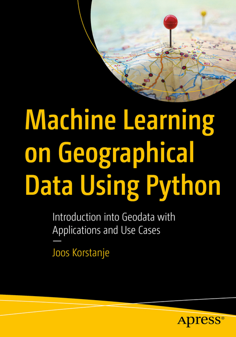
Machine Learning on Geographical Data Using Python
Apress (Verlag)
978-1-4842-8286-1 (ISBN)
What You Will Learn
Understand the fundamental concepts of working with geodata
Work with multiple geographical data types and file formats in Python
Create maps in Python
Apply machine learning on geographical data
Who This Book Is For
Readers with a basic understanding of machine learning who wish to extend their skill set to analysis of and machine learning on spatial data while remaining in a common data science Python environment
Joos Korstanje is a data scientist, with over five years of industry experience in developing machine learning tools. He has a double MSc in Applied Data Science and in Environmental Science and has extensive experience working with geodata use cases. He currently works at Disneyland Paris where he develops machine learning for a variety of tools. His experience in writing and teaching have motivated him to write this book on machine learning for geodata with Python.
Chapter 1: Introduction to Geodata.- Chapter 2: Coordinate Systems and Projections.- Chapter 3: Geodata Data Types: Points, Lines, Polygons, Raster.- Chapter 4: Creating Maps.- Chapter 5: Basic Operations 1: Clipping and Intersecting in Python.- Chapter 6: Basic Operations 2: Buffering in Python.- Chapter 7: Basic Operations 3: Merge and Dissolve in Python.- Chapter 8: Basic Operations 4: Erase in Python.- Chapter 9: Machine Learning: Interpolation.- Chapter 10: Machine Learning: Classification.- Chapter 11: Machine Learning: Regression.- Chapter 12: Machine Learning: Clustering.- Chapter 13: Conclusion.
| Erscheinungsdatum | 25.07.2022 |
|---|---|
| Zusatzinfo | 123 Illustrations, color; 104 Illustrations, black and white; XV, 312 p. 227 illus., 123 illus. in color. |
| Verlagsort | Berkley |
| Sprache | englisch |
| Maße | 178 x 254 mm |
| Themenwelt | Mathematik / Informatik ► Informatik ► Programmiersprachen / -werkzeuge |
| Informatik ► Theorie / Studium ► Künstliche Intelligenz / Robotik | |
| Naturwissenschaften ► Geowissenschaften ► Geografie / Kartografie | |
| Schlagworte | Clustering • geodata • Geographical Information Systems • machine learning • Map Visualizations • Python • Regression |
| ISBN-10 | 1-4842-8286-8 / 1484282868 |
| ISBN-13 | 978-1-4842-8286-1 / 9781484282861 |
| Zustand | Neuware |
| Haben Sie eine Frage zum Produkt? |
aus dem Bereich


