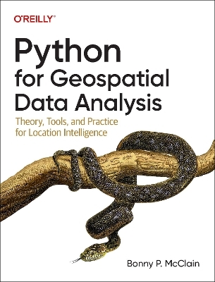
Python for Geospatial Data Analysis
Theory, Tools, and Practice for Location Intelligence
Seiten
2022
O'Reilly Media (Verlag)
978-1-0981-0479-5 (ISBN)
O'Reilly Media (Verlag)
978-1-0981-0479-5 (ISBN)
In spatial data science, things in closer proximity to one another likely have more in common than things that are farther apart. With this practical book, geospatial professionals, data scientists, business analysts, geographers, geologists, and others familiar with data analysis and visualization will learn the fundamentals of spatial data analysis to gain a deeper understanding of their data questions.
Author Bonny P. McClain demonstrates why detecting and quantifying patterns in geospatial data is vital. Both proprietary and open source platforms allow you to process and visualize spatial information. This book is for people familiar with data analysis or visualization who are eager to explore geospatial integration with Python.
This book helps you:
Understand the importance of applying spatial relationships in data science
Select and apply data layering of both raster and vector graphics
Apply location data to leverage spatial analytics
Design informative and accurate maps
Automate geographic data with Python scripts
Explore Python packages for additional functionality
Work with atypical data types such as polygons, shape files, and projections
Understand the graphical syntax of spatial data science to stimulate curiosity
| Erscheinungsdatum | 01.11.2022 |
|---|---|
| Verlagsort | Sebastopol |
| Sprache | englisch |
| Maße | 178 x 232 mm |
| Themenwelt | Mathematik / Informatik ► Informatik ► Datenbanken |
| Mathematik / Informatik ► Informatik ► Web / Internet | |
| Naturwissenschaften ► Geowissenschaften ► Geografie / Kartografie | |
| ISBN-10 | 1-0981-0479-X / 109810479X |
| ISBN-13 | 978-1-0981-0479-5 / 9781098104795 |
| Zustand | Neuware |
| Informationen gemäß Produktsicherheitsverordnung (GPSR) | |
| Haben Sie eine Frage zum Produkt? |
Mehr entdecken
aus dem Bereich
aus dem Bereich
Modern data warehouse, data fabric, data lakehouse und data mesh …
Buch | Softcover (2024)
O'Reilly (Verlag)
39,90 €


