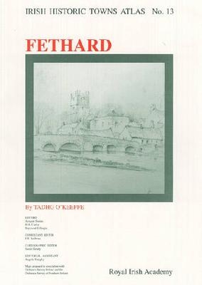
Fethard
Irish Historic Towns Atlas, no. 13
Seiten
2003
Royal Irish Academy (Verlag)
978-0-9543855-7-6 (ISBN)
Royal Irish Academy (Verlag)
978-0-9543855-7-6 (ISBN)
- Titel nicht im Sortiment
- Artikel merken
Fethard is the thirteenth in the Irish Historic Towns Atlas series, which assembles topographical documentations on the development of Irish towns and publishes them as individual fascicles.
Number 13 in the Irish Historic Towns Atlas series, Fethard traces the development of the County Tipperary town of Fethard from its earliest times to 1900 and includes: a large color reconstruction of the town in 1840; two early 18th century maps by Redmond Grace, followed by maps by Steile and Swiney from 1752 and 1763, respectively tracing the town's growth for that period; an attractive estate map based on the 1845 Ordnance Survey; and two Ordnance Survey maps showing Fethard in its surroundings and the modern town. Fethard also includes a topographical information section that lists historical and archaeological details of over 380 sites and an essay, all tracing the development of the town to 1900.
Author: Tadhg O'Keeffe; Series editors: Anngret Simms, H.B. Clarke, Raymond Gillespie; Consultant editor: J.H. Andrews; Cartographic editor: Sarah Gearty; Editorial assistant: Angela Murphy
| Erscheint lt. Verlag | 30.4.2003 |
|---|---|
| Reihe/Serie | Irish Historic Towns Atlas |
| Mitarbeit |
Herausgeber (Serie): Professor Anngret Simms, Professor H.B. Clarke, Professor Raymond Gillespie Berater: Professor J.H. Andrews |
| Zusatzinfo | Illustrations, color; Illustrations, black and white; Maps; Illustrations, unspecified |
| Verlagsort | Dublin |
| Sprache | englisch |
| Maße | 305 x 410 mm |
| Gewicht | 425 g |
| Themenwelt | Geisteswissenschaften ► Geschichte ► Teilgebiete der Geschichte |
| Naturwissenschaften ► Geowissenschaften ► Geografie / Kartografie | |
| ISBN-10 | 0-9543855-7-8 / 0954385578 |
| ISBN-13 | 978-0-9543855-7-6 / 9780954385576 |
| Zustand | Neuware |
| Haben Sie eine Frage zum Produkt? |