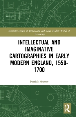
Intellectual and Imaginative Cartographies in Early Modern England
Routledge (Verlag)
978-1-032-06025-5 (ISBN)
Intellectual and Imaginative Cartographies in Early Modern England, 1550-1700 will appeal to all those interested in the History of Cartography
Patrick J. Murray, PhD, is a researcher specialising in early modern literature. His primary research and teaching interests focus on the interdisciplinary interfaces of cartography, literary representation and cultural fashioning in the period 1550-1750.
Introduction: Weaving the Net / Chapter 1: ‘they say the world’s in one of them’: The World of the Map / Chapter 2: ‘Thou by thine arte dost so anatomize’: Embodying the Map in John Speed and Michael Drayton / Chapter 3: Judging the Plot of Ireland in Spenser’s A View of the Present State of Ireland / Chapter 4: ‘There is none so good lernynge’: Cartography and Cartographic Instruments in Early Modern English Educational Treatises / Chapter 5: Francis Bacon and Geographic Science / Chapter 6: Plotting Marlovian Geographies / Chapter 7: Wenceslaus Hollar’s Cartographies / Conclusion: Mapping the Stars. And the Future
| Erscheinungsdatum | 21.07.2022 |
|---|---|
| Reihe/Serie | Routledge Studies in Renaissance and Early Modern Worlds of Knowledge |
| Zusatzinfo | 4 Halftones, black and white; 4 Illustrations, black and white |
| Verlagsort | London |
| Sprache | englisch |
| Maße | 156 x 234 mm |
| Gewicht | 630 g |
| Themenwelt | Geschichte ► Allgemeine Geschichte ► Neuzeit (bis 1918) |
| Geschichte ► Teilgebiete der Geschichte ► Kulturgeschichte | |
| Naturwissenschaften ► Geowissenschaften ► Geografie / Kartografie | |
| ISBN-10 | 1-032-06025-5 / 1032060255 |
| ISBN-13 | 978-1-032-06025-5 / 9781032060255 |
| Zustand | Neuware |
| Haben Sie eine Frage zum Produkt? |
aus dem Bereich


