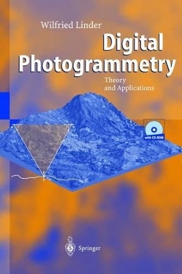
Written from a "learning by doing" perspective, Digital Photogrammetry supplies everything a novice user needs to understand and perform basic photogrammetry. The combination of explanatory text and software and data on the accompanying CD-ROM leads users through all necessary steps, from initial scanning through final products such as ortho images and mosaics. All of the basic functions of digital photogrammetry are explained: image orientation, aerial triangulation measurement, bundle block adjustment, feature collection, terrain models, and final products. Ideal for geographers, cartographers, forest engineers and other experts working with aerial photos, the package takes readers through several tutorials, beginning with a simple example (stereo model), that show just how photogrammetry works. The included software constitutes a small but powerful Digital Photogrammetric Workshop that can be used for any project. Even 3-D images, viewable with the included 3-D glasses, are among the examples. TOC:Introduction: Basic ideas and main task of photogrammetry; Image sources: Analogue and digital cameras; Short history of photogrammetric evaluation methods; Geometric principles 1: Flying height, focal length; Geometric principles 2: Image orientation; Some definitions; Length and angle units.- Included software and data: Hardware requirements, operating system; Image material; Overview of the software; Installation; Additional programmes, copyright, data; General remarks.- Scanning of photos: Scanner types; Geometric resolution; Radiometric resolution; Some practical advice; Import of the scanned images.- Example 1 - A single model: Project definition; Model definition; Stereoscopic viewing; Measurement of object coordinates; Creation of DTMs via image matching; Ortho images.- Example 2 - Aerial triangulation: Aerial triangulation measurement; Block adjustment with BLUH; Mosaics of DTMs and ortho images.- Example 3 - Some special cases: Scanning aerial photos with an A4 scanner; Interior orientation without camera parameters; Images from a digital camera; An example of close-range photogrammetry; A view into the future: Photogrammetry in 2020.- Programme description: Some definitions; Basic functions; Aims and limits of the programme; Operating the programme; Buttons in the graphics windows; File handling; Pre-programmes; Aerial triangulation measurement; Aerial triangulation with BLUH; Processing; Display.- Appendix: Codes; GCP positions for tutorial 2.
Introduction:
Basic ideas and main task of photogrammetry;
Image sources: Analogue and digital cameras;
Short history of photogrammetric evaluation methods;
Geometric principles
1:
Flying height, focal length;
Geometric principles
2:
Image orientation;
Some definitions;
Length and angle units.
- Included software and data:
Hardware requirements, operating system;
Image material;
Overview of the software;
Installation;
Additional programmes, copyright, data;
General remarks.
- Scanning of photos:
Scanner types;
Geometric resolution;
Radiometric resolution;
Some practical advice;
Import of the scanned images.
- Example 1 - A single model:
Project definition;
Model definition;
Stereoscopic viewing;
Measurement of object coordinates;
Creation of DTMs via image matching;
Ortho images.
- Example 2 - Aerial triangulation:
Aerial triangulation measurement;
Block adjustment with BLUH;
Mosaics of DTMs and ortho images.
- Example 3 - Some special cases:
Scanning aerial photos with an A4 scanner;
Interior orientation without camera parameters;
Images from a digital camera;
An example of close-range photogrammetry;
A view into the future:
Photogrammetry in 2020.
- Programme description:
Some definitions;
Basic functions;
Aims and limits of the programme;
Operating the programme;
Buttons in the graphics windows;
File handling;
Pre-programmes;
Aerial triangulation measurement;
Aerial triangulation with BLUH;
Processing;
Display.
- Appendix:
Codes;
GCP positions for tutorial 2.
| Zusatzinfo |
With a pair of 3-D glasses |
| Sprache |
englisch |
| Maße |
155 x 235 mm |
| Gewicht |
450 g |
| Einbandart |
gebunden |
| Themenwelt
|
Naturwissenschaften ► Geowissenschaften ► Allgemeines / Lexika |
| Schlagworte |
Cartography • Geography • Geoinformation • Landscape Planning • Photogrammetrie • Remote Sensing |
| ISBN-10 |
3-540-00810-1 / 3540008101 |
| ISBN-13 |
978-3-540-00810-1 / 9783540008101 |
| Zustand |
Neuware |
