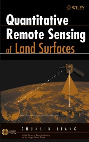
Quantitative Remote Sensing of Land Surfaces
Wiley-Interscience (Verlag)
978-0-471-28166-5 (ISBN)
A concise review of the basic principles of optical remote sensing as well as practical algorithms for estimating land surface variables quantitatively from remotely sensed observations.
Emphasizes both the basic principles of optical remote sensing and practical algorithms for estimating land surface variables quantitatively from remotely sensed observations
Presents the current physical understanding of remote sensing as a system with a focus on radiative transfer modelling of the atmosphere, canopy, soil and snow
Gathers the state of the art quantitative algorithms for sensor calibration, atmospheric and topographic correction, estimation of a variety of biophysical and geoph ysical variables, and four-dimensional data assimilation
SHUNLIN LIANG, PhD, is an associate professor in the Department of Geography at the University of Maryland, where he teaches courses in remote sensing, quantitative spatial analysis, and computer cartography. He is the Associate Editor for IEEE Transactions on Geoscience and Remote Sensing and the coeditor of Geographic Information Science.
Preface xv Acronyms xix
Chapter 1 Introduction 1
Chapter 2 Atmospheric Shortwave Radiative Transfer Modeling 25
Chapter 3 Canopy Reflectance Modeling 76
Chapter 4 Soil and Snow Reflectance Modeling 143
Chapter 5 Satellite Sensor Radiometric Calibration 178
Chapter 6 Atmospheric Correction of Optical Imagery 196
Chapter 7 Topographic Correction Methods 231
Chapter 8 Estimation of Land Surface Biophysical variables 246
Chapter 9 Estimation of Surface Radiation Budget: I. Broadband Albedo 310
Chapter 10 Estimation of Surface Radiation Budget: II. Longwave 345
Chapter 11 Four-Dimensional Data Assimilation 398
Chapter 12 Validation and Spatial Scaling 431
Chapter 13 Applications 472
Appendix CD-ROM Content 525
Index 528
| Erscheint lt. Verlag | 27.1.2004 |
|---|---|
| Reihe/Serie | Wiley Series in Remote Sensing and Image Processing |
| Mitarbeit |
Herausgeber (Serie): Jin Au Kong |
| Zusatzinfo | Photos: 0 B&W, 0 Color; Drawings: 0 B&W, 0 Color; Tables: 0 B&W, 0 Color |
| Sprache | englisch |
| Maße | 160 x 244 mm |
| Gewicht | 907 g |
| Themenwelt | Naturwissenschaften ► Geowissenschaften ► Geografie / Kartografie |
| Technik ► Bauwesen | |
| Technik ► Elektrotechnik / Energietechnik | |
| ISBN-10 | 0-471-28166-2 / 0471281662 |
| ISBN-13 | 978-0-471-28166-5 / 9780471281665 |
| Zustand | Neuware |
| Haben Sie eine Frage zum Produkt? |
aus dem Bereich


