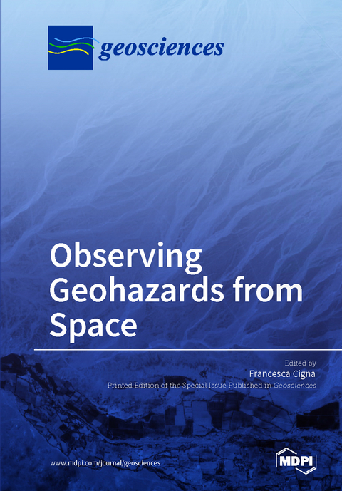
Observing Geohazards from Space
Seiten
2018
MDPI (Verlag)
978-3-03842-775-9 (ISBN)
MDPI (Verlag)
978-3-03842-775-9 (ISBN)
- Titel nicht im Sortiment
- Artikel merken
With a wide spectrum of imaging capabilities, Earth observation offers several opportunities for the geoscience community to map and monitor natural and human-induced Earth hazards from space.
The objective of this book is to collect scientific contributions on the development, validation, and implementation of satellite data, processing methods, and applications for mapping and monitoring of geohazards such as slow moving landslides, ground subsidence and uplift, and active and abandoned mining-related ground movements.
The book includes research papers published in the Special Issue "Observing Geohazards from Space" of Geosciences, which provides a number of novel case studies demonstrating how Earth observation and remote sensing data can be used to detect and delineate land instability and geological hazards in different environmental contexts and using a range of spatial resolutions and image processing methods.
| Erscheinungsdatum | 14.04.2018 |
|---|---|
| Mitarbeit |
Gast Herausgeber: Francesca Cigna |
| Verlagsort | Basel |
| Sprache | englisch |
| Themenwelt | Naturwissenschaften ► Geowissenschaften ► Geologie |
| Schlagworte | aerial photography • Ground Deformation • INSAR • Landslides • Lidar • Mining • Natural Hazards • object-based classification • Photogrammetry • Subsidence |
| ISBN-10 | 3-03842-775-6 / 3038427756 |
| ISBN-13 | 978-3-03842-775-9 / 9783038427759 |
| Zustand | Neuware |
| Haben Sie eine Frage zum Produkt? |
Mehr entdecken
aus dem Bereich
aus dem Bereich


