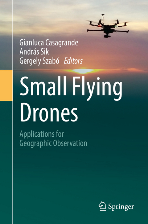
Small Flying Drones
Springer International Publishing (Verlag)
978-3-319-66576-4 (ISBN)
This book focuses on small flying drones and their applications in conducting geographic surveys. Scholars and professionals will discover the potential of this tool, and hopefully develop a conceptual and methodological framework for doing the following things: a) Translate their data acquisition needs into specifications. (b) Use the developed specifications to choose the best accessible configuration for their drones, and (c) Design and organize effective and low-cost field deployment and flight operations by integrating technical aspects with regulatory and research requirements.
Readers can apply this knowledge to work in cartography, environmental monitoring and analysis, land-use studies and landscape archaeology. Particular attention is also given to the reasons why a drone can dramatically boost a geographer's capability to understand geographic phenomena both from hard-science and humanities-oriented approach.
Dr. Gianluca Casagrande is an Associate Professor of Geography and Scientific Director of the Geographic Research and Application Laboratory (GREAL) at the Università Europea di Roma, Italy. Dr. András Sik is the Director of Geospatial Services at the Lechner TudásközpontLechner Tudásközpont in Budapest, Hungary. Dr. Gergely Szabó is an Associate Professor in the Department of Physical Geography and Geoinformatics at University of Debrecen, Hungary
Chapter1. Small Drones and Geographic Observation.- Chapter2. Concepts and Issues.- Chapter3. Opportunities.- Chapter4. Zooming on Aerial Survey.- Chapter5. Examples from the Boundaries of Geographical Survey: Architecture and Flood Modelling.
| Erscheinungsdatum | 08.12.2017 |
|---|---|
| Zusatzinfo | IX, 161 p. 95 illus., 90 illus. in color. |
| Verlagsort | Cham |
| Sprache | englisch |
| Maße | 155 x 235 mm |
| Gewicht | 270 g |
| Themenwelt | Naturwissenschaften ► Geowissenschaften ► Geografie / Kartografie |
| Schlagworte | Artificial Intelligence • artificial intelligence (incl. robotics) • data processing and visualization • deployability • drone surveying capabilities • Earth and Environmental Science • environmental measurement devices, • Environmental monitoring • Geographical information systems & remote sensing • Geographical Information Systems/Cartography • Geographical information systems & remote sensing • geographic surveys • Geography • image acquisition devices • Landscape Archaeology • Landscape/Regional and Urban Planning • low altitude • low-cost field deployment • Measurement Science and Instrumentation • Mobile mapping • Monitoring/Environmental Analysis • operational specifications • Photogrammetry • proximity land-observation • regional & area planning • Regional & area planning • Robotics • Robotics and Automation • Scientific standards, measurement etc • spatial information |
| ISBN-10 | 3-319-66576-6 / 3319665766 |
| ISBN-13 | 978-3-319-66576-4 / 9783319665764 |
| Zustand | Neuware |
| Haben Sie eine Frage zum Produkt? |
aus dem Bereich


