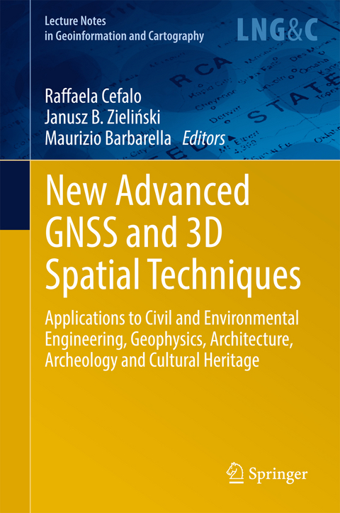
New Advanced GNSS and 3D Spatial Techniques
Springer International Publishing (Verlag)
978-3-319-56217-9 (ISBN)
This book provides the latest research on and applications of advanced GNSS (Global Navigation Satellite System) and 3D spatial techniques in the fields of Civil and Environmental Engineering, Geophysics, Architecture, Archaeology and Cultural Heritage.
It offers an updated reference guide on the above-mentioned topics for undergraduate and graduate students, PhDs, researchers, professionals and practitioners alike.
Part 1: New Advanced GNSS and 3D Spatial Techniques - Applications to Geodetic Networks, Mapping, Static and Kinematic positioning and Timing.- High Precision GNSS - prospects for science and applications.- Space time and maps.- The actual perspectives of GNSS multi-constellation services and receivers for kinematic applications.- FReDNet: evolution of a permanent GNSS receiver system.- Part 2: New Advanced GNSS and 3D Spatial Techniques Applications to Photogrammetry and Remote Sensing.- Procrustean Photogrammetry: From Exterior Orientation to Bundle Adjustment.- Towards Surveying with A Smartphone.- Evaluation of 3D reconstruction accuracy in the case of stereo camera-pose configuration.- Doing Science with Nano-Satellites.- Part 3: New Advanced GNSS and 3D Spatial Techniques Application to GIS, Web GIS, UAVs, Disaster Management and Cultural Heritage.- Optimization of a co-generative biomass plant location using open source GIS techniques. Technical, economical and environmental validation methodology.- Geography of WWI sites along the Italian front by means of GIS tools.- Ionosphere TEC variations over Bosnia and Herzegovina using GNSS data
| Erscheinungsdatum | 03.08.2017 |
|---|---|
| Reihe/Serie | Lecture Notes in Geoinformation and Cartography |
| Zusatzinfo | XII, 283 p. 151 illus., 111 illus. in color. |
| Verlagsort | Cham |
| Sprache | englisch |
| Maße | 155 x 235 mm |
| Gewicht | 608 g |
| Themenwelt | Geisteswissenschaften ► Archäologie |
| Naturwissenschaften ► Geowissenschaften ► Geografie / Kartografie | |
| Sozialwissenschaften | |
| Technik ► Bauwesen | |
| Schlagworte | archaeology • Cartography • Civil Engineering • civil engineering, surveying & building • Civil engineering, surveying & building • cultural heritage • Cultural Studies • Earth and Environmental Science • EGNOS • Galileo • Geographical information systems & remote sensing • Geographical Information Systems/Cartography • Geographical information systems & remote sensing • Geography • GIS • global navigation satellite system • Photogrammetry • Remote Sensing • Social & Cultural History • Social & cultural history • UAV |
| ISBN-10 | 3-319-56217-7 / 3319562177 |
| ISBN-13 | 978-3-319-56217-9 / 9783319562179 |
| Zustand | Neuware |
| Haben Sie eine Frage zum Produkt? |
aus dem Bereich


