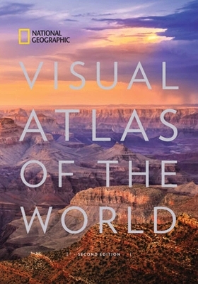
Visual Atlas of the World
Seiten
2017
National Geographic Society (Verlag)
978-1-4262-1838-5 (ISBN)
National Geographic Society (Verlag)
978-1-4262-1838-5 (ISBN)
Uniting National Geographic's incomparable photography with state-of-the-art cartographic technology, this is the most compelling, authoritative, and up-to-the-moment visual atlas on the market.
Reimagined and completely updated for the first time since 2008, National Geographic's visual atlas of the world will delight and inspire. From spectacular space imagery to UNESCO World Heritage Sites, this stunning book showcases the diverse natural and cultural treasures of the world in glorious color. Featuring more than 200 fascinating maps, more than 350 new photos, and state-of-the-art cartography and satellite imagery, this is a must-have reference for families, travelers, students, librarians, and scholars. Each page was created in collaboration with the world's premier scientists, geographers, and cartographers and is populated with the most up-to-date information available, making this book the most beautiful and authoritative visual atlas available today.
Reimagined and completely updated for the first time since 2008, National Geographic's visual atlas of the world will delight and inspire. From spectacular space imagery to UNESCO World Heritage Sites, this stunning book showcases the diverse natural and cultural treasures of the world in glorious color. Featuring more than 200 fascinating maps, more than 350 new photos, and state-of-the-art cartography and satellite imagery, this is a must-have reference for families, travelers, students, librarians, and scholars. Each page was created in collaboration with the world's premier scientists, geographers, and cartographers and is populated with the most up-to-date information available, making this book the most beautiful and authoritative visual atlas available today.
National Geographic cartographers create award-winning maps using state-of-the-art software for cartography and Geographic Information Systems (GIS). The results are clear, detailed maps that make map reading fun and informative.
| Erscheinungsdatum | 30.01.2018 |
|---|---|
| Sprache | englisch |
| Maße | 419 x 291 mm |
| Themenwelt | Reisen ► Karten / Stadtpläne / Atlanten ► Welt / Arktis / Antarktis |
| Schulbuch / Wörterbuch ► Lexikon / Chroniken | |
| Naturwissenschaften ► Geowissenschaften ► Geografie / Kartografie | |
| ISBN-10 | 1-4262-1838-9 / 1426218389 |
| ISBN-13 | 978-1-4262-1838-5 / 9781426218385 |
| Zustand | Neuware |
| Informationen gemäß Produktsicherheitsverordnung (GPSR) | |
| Haben Sie eine Frage zum Produkt? |
Mehr entdecken
aus dem Bereich
aus dem Bereich
mit Fakten und Infos zu allen Kontinenten
Buch | Hardcover (2024)
Kosmos Kartografie in der Franckh-Kosmos Verlags-GmbH & Co. …
24,00 €


