


World Wall Map
Political, Atlantic Centred
2001
|
New edition
Collins (Verlag)
978-0-00-710158-0 (ISBN)
Collins (Verlag)
978-0-00-710158-0 (ISBN)
- Titel erscheint in neuer Auflage
- Artikel merken
Zu diesem Artikel existiert eine Nachauflage
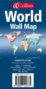
LAMINATED EDITION
An ideal reference map that covers the whole World, showing the political units on every continent. Scale 1:20 000 000; 1 cm to 200 km; 1 inch to 316 miles
MAIN FEATURES
Political map showing individual countries including roads, railways and physical features.
AREA OF COVERAGE
All of the World, centred on the Greenwich Meridian.
WHO THE PRODUCT IS AIMED AT
Home and business reference user.
| Erscheint lt. Verlag | 4.6.2001 |
|---|---|
| Verlagsort | London |
| Sprache | englisch |
| Maße | 1515 x 946 mm |
| Gewicht | 288 g |
| Themenwelt | Reisen ► Karten / Stadtpläne / Atlanten ► Welt / Arktis / Antarktis |
| Naturwissenschaften ► Geowissenschaften ► Geografie / Kartografie | |
| ISBN-10 | 0-00-710158-9 / 0007101589 |
| ISBN-13 | 978-0-00-710158-0 / 9780007101580 |
| Zustand | Neuware |
| Haben Sie eine Frage zum Produkt? |
Mehr entdecken
aus dem Bereich

aus dem Bereich
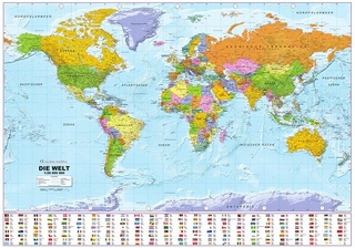
1:30 Mio. mit Posterleisten, mit Oberflächenlaminat
Karte (gerollt) (2023)
INTERKART Landkarten & Globen (Verlag)
25,90 €