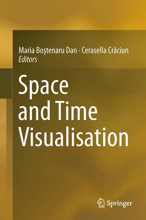
Space and Time Visualisation
Springer International Publishing (Verlag)
978-3-319-24940-7 (ISBN)
Introduction: the context of participation of Romania to the NeDiMAH RNP.- Section 1: Digital landscape.- The Natural, Anthropogenic and Cultural Landscape between Space and Time. Case study: The Lost Gardens of Bucharest.- Lost landscapes: in search of cartographic evidence.- Towards a New Design and Teaching Methodology for Large-scale Landscape Design in the Era of Digital Overload.- Section 2: Digital art history.- The Social Network behind an Architectural Style over Space and Time.- ARCHIVES (Building In Time).- Memories and the City: Addressing Heritage from the Perspective of Urbanity.-Section 3: Digital art.- New Media in Architecture - Media Facades.- Digital Art Conservation - the book and an itinerant exhibition resulting from a European project.- Section 4: Virtual reality.- Lost Cities in the Digital Era: The case of pre-earthquake Lisbon.- e-Installation: Synesthetic Documentation of Media Art via Telepresence Technologies.- Section 5: Virtual recording.- A Remote Sensing and Geo-Informatics approach in watershed planning of Irrigation Tanks connected with Batticaloa Lagoon: A case study of Unnichchai watershed.- Building survey system for the representation of the load bearing structure.- Geographical Information Systems as environmental, landscape and urban planning and research tools. Romania as a case study.- Section 6: Digital representation of hazards.- Dam-break flood assessment using GIS. Study Case: Bicaz-Izvorul Muntelui (Romania).- Limits and Possibilities of Computer Support in Priority Setting for Earthquake Risk Reduction.- Conclusion.
| Erscheinungsdatum | 08.10.2016 |
|---|---|
| Zusatzinfo | XVIII, 318 p. 125 illus., 84 illus. in color. |
| Verlagsort | Cham |
| Sprache | englisch |
| Maße | 155 x 235 mm |
| Themenwelt | Naturwissenschaften ► Geowissenschaften ► Geografie / Kartografie |
| Schlagworte | Artists in Industry • digital methods • Earth and Environmental Science • Geographical Information Systems/Cartography • Landscape/Regional and Urban Planning • Lannis Xenakis • Lost Landscapes • media • Modelling • NeDiMAH • Network • urban geography and urbanism • Urbanism |
| ISBN-10 | 3-319-24940-1 / 3319249401 |
| ISBN-13 | 978-3-319-24940-7 / 9783319249407 |
| Zustand | Neuware |
| Haben Sie eine Frage zum Produkt? |
aus dem Bereich


