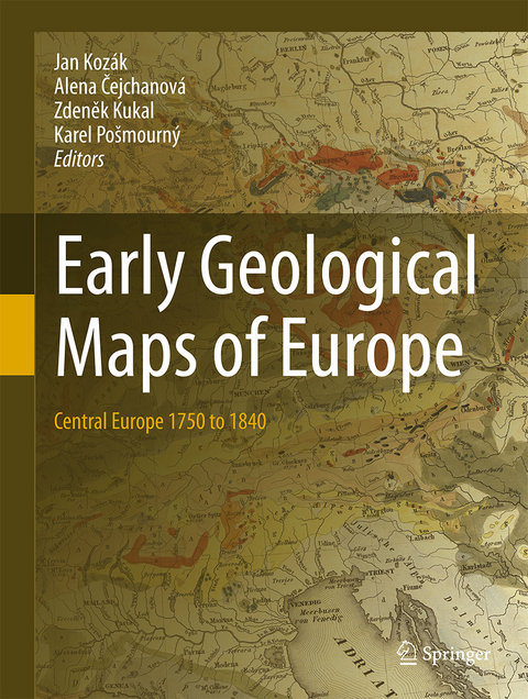
Early Geological Maps of Europe
Springer International Publishing (Verlag)
978-3-319-22487-9 (ISBN)
RNDr. Jan T. Kozák PhD, (1938), graduated from Charles University (mathematics and physics) and has been associated with the Institute of Geophysics at the Czech Academy of Science in Prague since 1965. In addition to his main professional fields (observatory seismology, rotational seismic effects) he has been increasingly involved in the history of natural sciences in the context of Earth's dynamical manifestations. He has been awarded numerous Czech and international projects, including two Czech-US three-year projects on historical seismicity. He is the author of more than two hundred original research papers and several cin the field of historical seismology, volcanology and geological cartography.
Foreword.- Introduction.- Table of treated and reproduced early geological maps of Central Europe.- Outline of the geological evolution of the Central Europe.- The Atlas.- Further advancement of geology in Central Europe.- Indexes.- References.
"This volume reproduces and assesses early geological maps of central Europe in the late-18th and early-19th centuries. The book begins with a summary of the economic development of the region, and then offers a brief overview of the geology as it is known today. ... This work is recommended for libraries with Earth sciences collections. Summing Up: Recommended. Upper-division undergraduates and above; faculty and professionals." (M. A. Wilson, Choice, Vol. 54 (7), March, 2017)
| Erscheint lt. Verlag | 3.8.2016 |
|---|---|
| Zusatzinfo | XIII, 155 p. 87 illus., 58 illus. in color. |
| Verlagsort | Cham |
| Sprache | englisch |
| Maße | 210 x 279 mm |
| Gewicht | 708 g |
| Themenwelt | Sachbuch/Ratgeber ► Natur / Technik ► Naturwissenschaft |
| Naturwissenschaften ► Geowissenschaften ► Geologie | |
| Schlagworte | Earth and Environmental Science • Geological Cartography • Geological Prospecting • historical geology • History • History of Geology • Landscape/Regional and Urban Planning • Old Geological Maps • physical geography • Popular Earth Science • Popular Science in Nature and Environment • regional geology • Statigraphy |
| ISBN-10 | 3-319-22487-5 / 3319224875 |
| ISBN-13 | 978-3-319-22487-9 / 9783319224879 |
| Zustand | Neuware |
| Haben Sie eine Frage zum Produkt? |
aus dem Bereich
