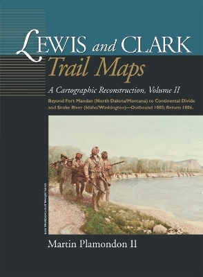
Lewis and Clark Trail Maps
A Cartographic Reconstruction, Volume II: Beyond Fort Mandan (North Dakota/Montana) to Continental Divide and Snake River (Idaho/Washington) - Outbound 1805; Return 1806
Seiten
2002
Washington State University Press (Verlag)
978-0-87422-242-5 (ISBN)
Washington State University Press (Verlag)
978-0-87422-242-5 (ISBN)
- Titel nicht im Sortiment
- Artikel merken
In Volume II, Martin Plamondon presents a cartographic reconstruction of the Corps of Discovery's trek across the northwestern United States in 1805-06. Beginning a short distance above Fort Mandan, 190 maps depict the explorers' route on the Missouri River in North Dakota and Montana, over the continental divide to Idaho, and down westward-flowing waters to the Snake-Columbia confluence in central Washington.The maps contrast modern riverbeds to their courses at the time of the exploration. Also included are pertinent excerpts from the journals and depictions of significant geographical features. Plamondon has utilized the actual traverse measurements and notes recorded by William Clark for each day that the expedition was on the move.
This is the second of a three-volume set published by the WSU Press delineating the Corps' entire journey, both outbound and return, in 1804-06. Volume I, published in September 2000, includes 153 full-page maps of the explorers' route on the Missouri River from Illinois to North Dakota.
This is the second of a three-volume set published by the WSU Press delineating the Corps' entire journey, both outbound and return, in 1804-06. Volume I, published in September 2000, includes 153 full-page maps of the explorers' route on the Missouri River from Illinois to North Dakota.
Martin Plamondon II of Vancouver, Washington, was a chairman of the Governor's Washington Lewis and Clark Trail Committee. His long-term research in exploration history and 28 years of experience as a professional cartographer provided the unique set of skills required to complete the trail maps.
DedicationAcknowledgments
Introduction
INDEX MAPS AND LEGEND, VOLUME II
Plates VI-XI
LEWIS AND CLARK TRAIL MAPS, VOLUME II
Map Numbers 154-333
INDEXES, VOLUME II
Outbound and Return Camps
Outbound and Return Dates
Selected Locations and Events
Place Names
| Erscheint lt. Verlag | 31.5.2002 |
|---|---|
| Verlagsort | Pullman, WA |
| Sprache | englisch |
| Maße | 229 x 305 mm |
| Gewicht | 1284 g |
| Themenwelt | Reisen ► Karten / Stadtpläne / Atlanten ► Welt / Arktis / Antarktis |
| Geschichte ► Allgemeine Geschichte ► Neuzeit (bis 1918) | |
| Geisteswissenschaften ► Geschichte ► Regional- / Ländergeschichte | |
| Geisteswissenschaften ► Geschichte ► Teilgebiete der Geschichte | |
| Naturwissenschaften ► Geowissenschaften ► Geografie / Kartografie | |
| ISBN-10 | 0-87422-242-7 / 0874222427 |
| ISBN-13 | 978-0-87422-242-5 / 9780874222425 |
| Zustand | Neuware |
| Haben Sie eine Frage zum Produkt? |
Mehr entdecken
aus dem Bereich
aus dem Bereich
Europa 1848/49 und der Kampf für eine neue Welt
Buch | Hardcover (2023)
DVA (Verlag)
48,00 €
Giordano Bruno - ein ketzerisches Leben
Buch | Hardcover (2024)
C.H.Beck (Verlag)
29,90 €


