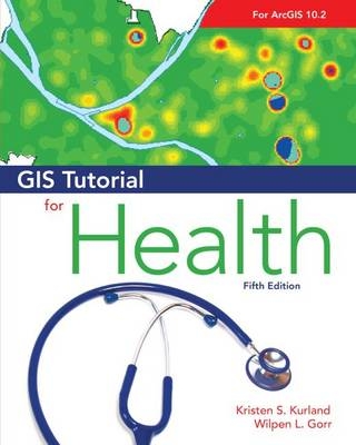
GIS Tutorial for Health
Environmental Systems Research Institute Inc.,U.S. (Verlag)
978-1-58948-372-9 (ISBN)
- Titel ist leider vergriffen;
keine Neuauflage - Artikel merken
A handbook for teaching GIS to healthcare professionals, this reference discusses learning GIS software in the context of visualizing and analyzing health-related data. By outlining a hands-on approach that simulates how a GIS project would be developed in the real world, the included exercises set the student loose on real data with a tangible, clearly-defined end-product as the goal. A companion CD-ROM includes additional exercises for each tutorial chapter with integrated cases that cut across chapters.
Kristen S. Kurland holds a joint faculty appointment at Carnegie Mellon University's Heinz School of Public Policy and Management and Shool of Architecture, where she teaches GIS, CAD, 3D visualization, and computer aided facilities management (CAFM). Wilpen L. Gorr is a professor of public policy and management information systems at the H. John Heinz III School of Public Policy and Management, Carnegie Mellon University, where he teaches and researches GIS applications.
Preface
Acknowledgments
Part 1 GIS benefits and map basics
Chapter 1: Introducing GIS and health applications
Chapter 2: Visualizing health data
Part 2 Preparation of map data
Chapter 3: Designing maps for a health study
Chapter 4: Projecting, downloading, and using spatial data
Chapter 5: Downloading and preparing spatial and tabular data
Chapter 6: Geocoding tabular data
Part 3 Spatial analysis
Chapter 7: Processing and analyzing spatial data
Chapter 8: Transforming data using approximate methods
Chapter 9: Using ArcGIS Spatial Analyst for demand estimation
Part 4 GIS case studies
Chapter 10: Studying food-borne disease outbreaks
Chapter 11: Forming local chapters of ACHE
Appendix A Task index
Appendix B Data source credits
Appendix C Data license agreement
| Reihe/Serie | GIS Tutorials |
|---|---|
| Zusatzinfo | 400 Illustrations |
| Verlagsort | Redlands |
| Sprache | englisch |
| Maße | 203 x 254 mm |
| Themenwelt | Medizin / Pharmazie ► Gesundheitswesen |
| Studium ► Querschnittsbereiche ► Epidemiologie / Med. Biometrie | |
| Studium ► Querschnittsbereiche ► Prävention / Gesundheitsförderung | |
| Naturwissenschaften ► Geowissenschaften ► Geografie / Kartografie | |
| Sozialwissenschaften ► Pädagogik | |
| ISBN-10 | 1-58948-372-3 / 1589483723 |
| ISBN-13 | 978-1-58948-372-9 / 9781589483729 |
| Zustand | Neuware |
| Haben Sie eine Frage zum Produkt? |
aus dem Bereich


