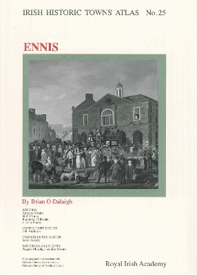
Ennis
Irish Historic Towns Atlas, no. 25
Seiten
2012
Royal Irish Academy
978-1-908996-00-8 (ISBN)
Royal Irish Academy
978-1-908996-00-8 (ISBN)
Ennis is the twenty-fifth in the Irish Historic Towns Atlas series, which assembles topographical documentations on the development of Irish towns and publishes them as individual fascicles.
Number 25 in the Irish Historic Towns Atlas series, Ennis traces the growth of this western town from its early O’Brien foundation at Clonroad, to the medieval town that developed around the Franciscan friary, to its function as an early modern market town, right through to the twentieth century. Over 15 early maps and old views are presented in colour on A3 sheets with additional thematic maps and illustrations in the accompanying text. An extensive topographical gazetteer documents over 1,200 sites in Ennis and is accompanied by an essay explaining the urban morphological development of the town. CD-ROM included.
Author: Brian Ó Dálaigh; Series editors: Anngret Simms, H.B. Clarke, Raymond Gillespie, Jacinta Prunty; Consultant editor: J.H. Andrews; Cartographic editor: Sarah Gearty; Editorial assistants: Angela Murphy, Jennifer Moore
| Reihe/Serie | Irish Historic Towns Atlas |
|---|---|
| Mitarbeit |
Herausgeber (Serie): Professor Anngret Simms, Professor H.B. Clarke, Professor Raymond Gillespie, Dr Jacinta Prunty |
| Zusatzinfo | Illustrations, color; 16 Maps |
| Verlagsort | Dublin |
| Sprache | englisch |
| Maße | 305 x 410 mm |
| Gewicht | 1000 g |
| Themenwelt | Reisen ► Karten / Stadtpläne / Atlanten ► Europa |
| Geisteswissenschaften ► Geschichte ► Allgemeine Geschichte | |
| Geisteswissenschaften ► Geschichte ► Hilfswissenschaften | |
| Geisteswissenschaften ► Geschichte ► Regional- / Ländergeschichte | |
| Geisteswissenschaften ► Geschichte ► Teilgebiete der Geschichte | |
| Naturwissenschaften ► Geowissenschaften ► Geografie / Kartografie | |
| ISBN-10 | 1-908996-00-5 / 1908996005 |
| ISBN-13 | 978-1-908996-00-8 / 9781908996008 |
| Zustand | Neuware |
| Informationen gemäß Produktsicherheitsverordnung (GPSR) | |
| Haben Sie eine Frage zum Produkt? |