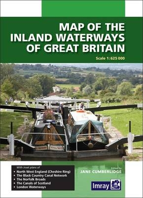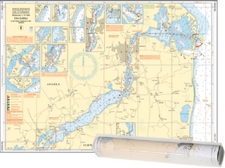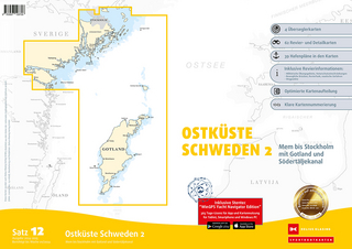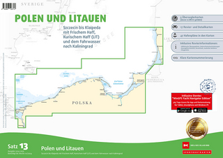
Map Inland Waterways of Great Britain
Seiten
2013
Imray, Laurie, Norie & Wilson Ltd (Verlag)
978-1-84623-523-8 (ISBN)
Imray, Laurie, Norie & Wilson Ltd (Verlag)
978-1-84623-523-8 (ISBN)
- Titel ist leider vergriffen;
keine Neuauflage - Artikel merken
The revised edition covers changes to the restored Droitwich Canal, Fenland waterways, Norfolk Broads and the Wey and Arun Canal which is undergoing restoration. The inset plan of the London area has been extended eastwards to show the location of the Olympic Park and rivers around it. "Fully revised to include changes to the Droitwich Canals, Fenland waterways and the Wey & Arun Canal, which is undergoing restoration. It features inset plans of North West England (the Cheshire Ring), the Black Country, the Norfolk Broads, Scotland's canals and lcohs, and London's waterways, the latter map now extended eastwards to show the location of Olympic Park and surrounding rivers and creeks. Look out for a superb cover photo of Caen Hill Locks on the Kennet 7 Avon Navigation!" Keith Goss, Waterways World July 2013.
| Erscheint lt. Verlag | 1.2.2013 |
|---|---|
| Verlagsort | Huntingdon |
| Sprache | englisch |
| Maße | 210 x 295 mm |
| Themenwelt | Sachbuch/Ratgeber ► Sport ► Segeln / Tauchen / Wassersport |
| Naturwissenschaften ► Geowissenschaften ► Geografie / Kartografie | |
| Technik ► Fahrzeugbau / Schiffbau | |
| ISBN-10 | 1-84623-523-5 / 1846235235 |
| ISBN-13 | 978-1-84623-523-8 / 9781846235238 |
| Zustand | Neuware |
| Haben Sie eine Frage zum Produkt? |
Mehr entdecken
aus dem Bereich
aus dem Bereich
Karte/Kartografie (2024)
Delius Klasing (Verlag)
139,90 €
Karte/Kartografie (2024)
Delius Klasing (Verlag)
89,90 €


