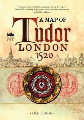
Historical Map of Tudor London, c.1520
A detailed street map of...
2013
Old House Books (Verlag)
978-1-908402-51-6 (ISBN)
Old House Books (Verlag)
978-1-908402-51-6 (ISBN)
- Titel ist leider vergriffen;
keine Neuauflage - Artikel merken
Deals with the capital city during the reign of Henry VIII around 1520, showing streets, lanes, churches, great houses, monasteries and public buildings. This map reveals medieval London at its impressive, before the city was overwhelmed by a population explosion.
The capital city during the reign of Henry VIII around 1520, showing major streets, lanes, churches, great houses, monasteries and public buildings. This map reveals medieval London at its most impressive, before the city was overwhelmed by a massive population explosion.
The capital city during the reign of Henry VIII around 1520, showing major streets, lanes, churches, great houses, monasteries and public buildings. This map reveals medieval London at its most impressive, before the city was overwhelmed by a massive population explosion.
The Historic Towns Trust
| Erscheint lt. Verlag | 10.4.2013 |
|---|---|
| Zusatzinfo | 10 b/w; 1 col |
| Verlagsort | London |
| Sprache | englisch |
| Maße | 582 x 976 mm |
| Themenwelt | Geschichte ► Allgemeine Geschichte ► Neuzeit (bis 1918) |
| Geisteswissenschaften ► Geschichte ► Hilfswissenschaften | |
| Naturwissenschaften ► Geowissenschaften ► Geografie / Kartografie | |
| ISBN-10 | 1-908402-51-2 / 1908402512 |
| ISBN-13 | 978-1-908402-51-6 / 9781908402516 |
| Zustand | Neuware |
| Haben Sie eine Frage zum Produkt? |