


World Political Map
1999
|
Huge ed
MapQuest.com (Verlag)
978-1-57262-448-1 (ISBN)
MapQuest.com (Verlag)
978-1-57262-448-1 (ISBN)
- Titel ist leider vergriffen;
keine Neuauflage - Artikel merken
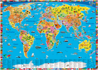
The official World Map of the National Geographic Society features the Winkel Tripel projection, developed to show the round earth on flat paper with minimal distortion. Inset maps illustrate vegetation, land use and population density.
| Erscheint lt. Verlag | 1.9.1999 |
|---|---|
| Reihe/Serie | NG world maps |
| Verlagsort | New York |
| Sprache | englisch |
| Maße | 1250 x 1500 mm |
| Gewicht | 365 g |
| Themenwelt | Reisen ► Karten / Stadtpläne / Atlanten ► Welt / Arktis / Antarktis |
| Naturwissenschaften ► Geowissenschaften ► Geografie / Kartografie | |
| ISBN-10 | 1-57262-448-5 / 1572624485 |
| ISBN-13 | 978-1-57262-448-1 / 9781572624481 |
| Zustand | Neuware |
| Haben Sie eine Frage zum Produkt? |
Mehr entdecken
aus dem Bereich


aus dem Bereich
Karte (gerollt) (2024)
Kümmerly+Frey (Verlag)
14,90 €