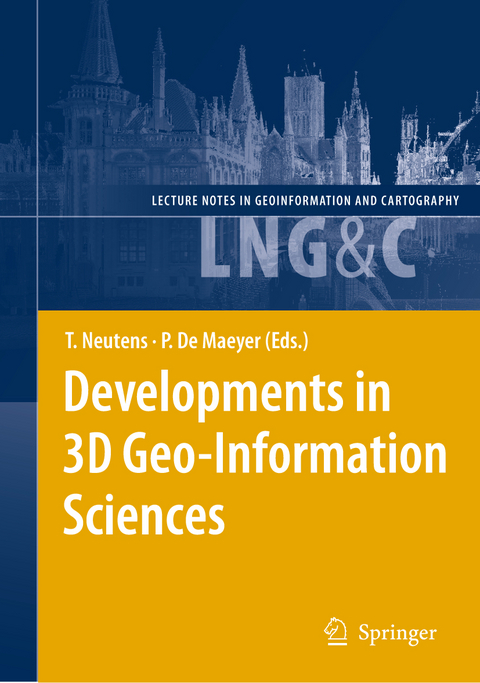
Developments in 3D Geo-Information Sciences

Buch | Hardcover
XIII, 219 Seiten
2009 | 2010
Springer Berlin (Verlag)
978-3-642-04790-9 (ISBN)
160,49 inkl. MwSt
Realistically representing our three-dimensional world has been the subject of many (philosophical) discussions since ancient times. While the recognition of the globular shape of the Earth goes back to Pythagoras' statements of the sixth century B. C. , the two-dimensional, circular depiction of the Earth's surface has remained prevailing and also dominated the art of painting until the late Middle Ages. Given the immature technological means, objects on the Earth's surface were often represented in academic and technical disciplines by two-dimensional cross-sections oriented along combinations of three mutually perpendicular directions. As soon as computer science evolved, scientists have steadily been improving the three-dimensional representation of the Earth and developed techniques to analyze the many natural processes and phenomena taking part on its surface. Both computer aided design (CAD) and geographical information systems (GIS) have been developed in parallel during the last three decades. While the former concentrates more on the detailed design of geometric models of object shapes, the latter emphasizes the topological relationships between geographical objects and analysis of spatial patterns. Nonetheless, this distinction has become increasingly blurred and both approaches have been integrated into commercial software packages. In recent years, an active line of inquiry has emerged along the junctures of CAD and GIS, viz. 3D geoinformation science. Studies along this line have recently made significant inroads in terms of 3D modeling and data acquisition.

Euler Operators and Navigation of Multi-shell Building Models.- True-3D Visualization of Glacier Retreat in the Dachstein Massif, Austria: Cross-Media Hard- and Softcopy Displays.- Towards Advanced and Interactive Web Perspective View Services.- Interactive modelling of buildings in Google Earth: A 3D tool for Urban Planning.- An Experimentation of Expert Systems Applied to 3D Geological Models Construction.- Data validation in 3D cadastre.- From Three-Dimensional Topological Relations to Contact Relations.- Needs and potential of 3D city information and sensor fusion technologies for vehicle positioning in urban environments.- Modeling Visibility through Visual Landmarks in 3D Navigation using Geo-DBMS.- A 3D inclusion test on large dataset.- 3D Volumetric Soft Geo-objects for Dynamic Urban Runoff Modeling.

Erscheint lt. Verlag 27.10.2009
Reihe/Serie Lecture Notes in Geoinformation and Cartography
Zusatzinfo XIII, 219 p. 110 illus., 3 illus. in color.
Verlagsort Berlin
Sprache englisch
Maße 155 x 235 mm
Gewicht 538 g
Themenwelt Naturwissenschaften Geowissenschaften Geografie / Kartografie
Naturwissenschaften Geowissenschaften Geophysik
Schlagworte 3D Applications • 3D Data Modelling • 3D Geo-DBMS • 3D Spatial Analysis • Cadastre • Geoinformatik • Geoinformation • Geoinformationssysteme • Virtual Environments
ISBN-10 3-642-04790-4 / 3642047904
ISBN-13 978-3-642-04790-9 / 9783642047909
Zustand Neuware
Haben Sie eine Frage zum Produkt?
Mehr entdecken
aus dem Bereich
über eine faszinierende Welt zwischen Wasser und Land und warum sie …

von Franziska Tanneberger

Buch | Hardcover (2023)
dtv (Verlag)
24,00
Eine Einführung in die spezielle Mineralogie, Petrologie und …

von Martin Okrusch; Hartwig E. Frimmel

Buch | Hardcover (2022)
Springer Spektrum (Verlag)
59,99