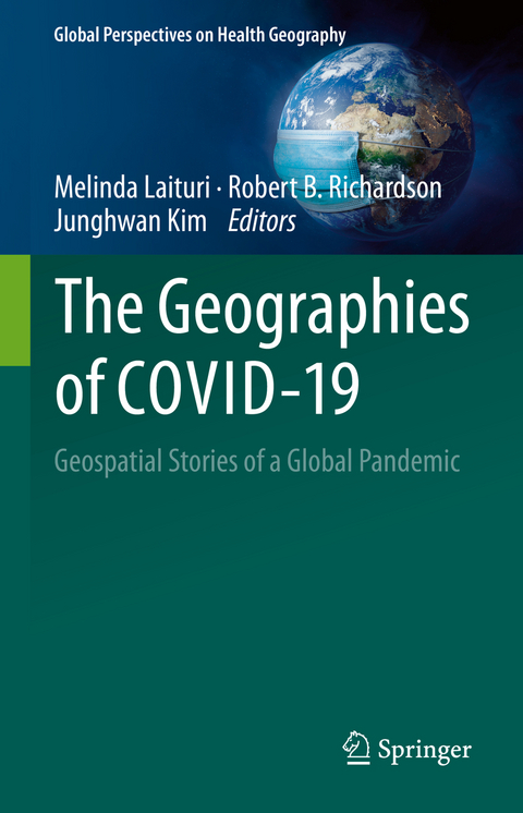
The Geographies of COVID-19
Springer International Publishing (Verlag)
978-3-031-11774-9 (ISBN)
This volume of case studies focuses on the geographies of COVID-19 around the world. These geographies are located in both time and space concentrating on both first- and second-order impacts of the COVID-19 pandemic. First-order impacts are those associated with the immediate response to the pandemic that include tracking number of deaths and cases, testing, access to hospitals, impacts on essential workers, searching for the origins of the virus and preventive treatments such as vaccines and contact tracing. Second-order impacts are the result of actions, practices, and policies in response to the spread of the virus, with longer-term effects on food security, access to health services, loss of livelihoods, evictions, and migration. Further, the COVID-19 pandemic will be prolonged due to the onset of variants as well as setting the stage for similar future events. This volume provides a synopsis of how geography and geospatial approaches are used to understand this event andthe emerging "new normal." The volume's approach is necessarily selective due to the global reach of the pandemic and the broad sweep of second-order impacts where important issues may be left out. However, the book is envisioned as the prelude to an extended conversation about adaptation to complex circumstances using geospatial tools.
Using case studies and examples of geospatial analyses, this volume adopts a geographic lens to highlight the differences and commonalities across space and time where fundamental inequities are exposed, the governmental response is varied, and outcomes remain uncertain. This moment of global collective experience starkly reveals how inequality is ubiquitous and vulnerable populations - those unable to access basic needs - are increasing. This place-based approach identifies how geospatial analyses and resulting maps depict the pandemic as it ebbs and flows across the globe. Data-driven decision making is needed as we navigate the pandemic and determine ways to address future such events to enable local and regional governments in prioritizing limited resources to mitigate the long-term consequences of COVID-19.
Dr. Melinda Laituri is a professor of geography in the Department of Ecosystem Science and Sustainability at Colorado State University. She was the Director of the Geospatial Centroid at CSU that provides support for geospatial research and teaching across the university. She is a visiting scientist at the Center for Geographic Analysis at Harvard University. Laituri was a Jefferson Science Fellow where she was the principal investigator on the Secondary Cities Initiative, part of the State Department's Office of the Geographer's Humanitarian Information Unit mapping rapidly growing under-examined cities. She was the principal investigator on the Department of State's Cities COVID Mapping and Mitigation program. She received her PhD from the University of Arizona in Geography and held a three-year tenure track position at University of Auckland, New Zealand before joining Colorado State University. Dr. Robert B. Richardson is an ecological economist at Michigan State University with interests in the study of the environment and development, particularly the contribution of ecosystem services to socioeconomic well-being. His research, teaching, and outreach program focuses primarily on sustainable development, and he uses a variety of methods from the behavioral and social sciences to study decision-making about the use of natural resources and the values of ecosystem services. He has conducted research related to agricultural-environmental linkages, household food and energy security, and tradeoffs in decision-making about environmental management in southern and eastern Africa, Central America, and Southeast Asia, as well as in the USA. His work has been published in Ecological Economics, Environment and Development Economics, and World Development. Dr. Junghwan Kim is a postdoctoral fellow at CGA. He received his Ph.D. in 2021 in Geography from the University of Illinois at Urbana-Champaign (UIUC). He also holds a B.S. in Urban Planning and Engineering (Summa Cum Laude) from Yonsei University (2016) in South Korea and a Master of Urban Planning (MUP) from the UIUC (2018). His research interests include human mobility (e.g., travel behavior and accessibility), environmental health, the application of GIScience methods, geoprivacy, and geoethics. His works have been published in several peer-reviewed journals, including the Annals of the American Association of Geographers, Journal of Transport Geography, Cartography and Geographic Information Science, Environmental Research, and Transactions in GIS.
Chapter 1. How covid changed our daily geographies.- Chapter 2. Geography of the pandemic.- Chapter 3. Defining first- and second-order impacts through maps.- Chapter 4. Quantitative geographical approaches in COVID-19 research: A review on first- and second-order impacts.- Chapter 5. COVID-19's impact on geospatial data: ethics and values.- Chapter 6. The City and the Pandemic - the Cities' COVID Mitigation Mapping (C2M2) Program .- Chapter 7. Improving access to health services in Mongolia via open data during and beyond the COVID-19 pandemic.- Chapter 8. The inequities in the U.S. during the COVID-19 pandemic.- Chapter 9. The Latine community and COVID-19: nuances, experiences, and data.- Chapter 10. An overview of the impact of COVID-19 in Nepal's international tourism industry.- Chapter 11. Data and dashboards for measuring the social impact of COVID-19 in African cities.- Chapter 12. COVID-19 and domestic violence complaints in Quito, Ecuador: temporal and spatial patterns anddrivers.- Chapter 13. Mapping COVID-19: Should it be based on the incidence rate? A case study in China.- Chapter 14. Regional patterns of the pandemic: a view from Aotearoa New Zealand.- Chapter 15. Aboriginal and Torres Strait Islander peoples & the COVID-19 pandemic: a spatial and place-based analysis.- Chapter 16. Impacts of COVID-19 pandemic lockdown on the livelihoods of male commercial Boda-Boda motorists in Uganda.- Chapter 17. Geospatial techniques for mapping the spatial trajectories of COVID-19.- Chapter 18. Digital geographies and digital surveillance technologies: power and space in the Italian society under control for public health.- Chapter 19. Resilience amid uncertainty: COVID-19 pandemic, the urban informal sector, and livelihoods in sub-Saharan Africa.- Chapter 20. Freshwater Resources and COVID-19.- Chapter 21. Preventing pandemics: earth observations for One Health.- Chapter 22. Enabling Accelerated Research in Times of Need: The National Science Foundation's Response to COVID-19 in 2020.- Chapter 23. Conclusion - The consequences of COVID-19 - What's next?.
| Erscheinungsdatum | 02.11.2022 |
|---|---|
| Reihe/Serie | Global Perspectives on Health Geography |
| Zusatzinfo | XXXI, 300 p. 57 illus., 51 illus. in color. |
| Verlagsort | Cham |
| Sprache | englisch |
| Maße | 155 x 235 mm |
| Gewicht | 654 g |
| Themenwelt | Mathematik / Informatik ► Informatik |
| Medizin / Pharmazie ► Allgemeines / Lexika | |
| Naturwissenschaften ► Geowissenschaften ► Geografie / Kartografie | |
| Schlagworte | Covid-19 • Geospatial Data • Geovisualization • Global Pandemic • health geography • Inequality mapping • Spatial inequity • vulnerable populations |
| ISBN-10 | 3-031-11774-3 / 3031117743 |
| ISBN-13 | 978-3-031-11774-9 / 9783031117749 |
| Zustand | Neuware |
| Haben Sie eine Frage zum Produkt? |
aus dem Bereich


