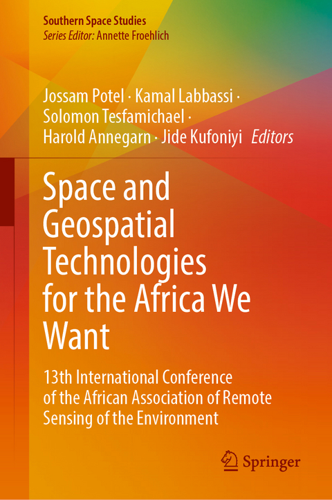
Space and Geospatial Technologies for the Africa We Want
Springer International Publishing (Verlag)
978-3-031-64212-8 (ISBN)
This book comprises the contributions of the African Association of Remote Sensing of the Environment (AARSE) international conference which is conducted biennially across Africa, alternately with the AfricaGIS conference. It is the premier forum in Africa for research on remote sensing technologies and geospatial information science, gathering leading scholars from the remote sensing and related communities. The 13th AARSE International Conference was held on October 24-28, 2022 in Kigali, Rwanda, to focus on Earth observations and geospatial science to achieve the Sustainable Development Goals. The five-day event themed "Space and Geospatial Technologies for the Africa We Want" was organized by the African Association of Remote Sensing of the Environment (AARSE) and the Institut d'Enseignement Supérieur de Ruhengeri (Ines-Ruhengeri) in partnership with Rwanda Space Agency and Space in Africa. Furthermore, the conference was sponsored by GMES and Africa, the Regional Centre For Mapping Of Resources For Development (RCMRD), Airbus, European Space Agency (ESA), Digital Earth Africa, and INES-Ruhengeri and Rwanda Space Agency. The 13th Conference continues a long series of successful AARSE conferences which started in 1996, in Harare (Zimbabwe), and has been held in Abidjan (Cote D'Ivoire) in 1998, Cape Town (South Africa) in 2000, Abuja (Nigeria) in 2002, Nairobi (Kenya) in 2004, Cairo (Egypt) in 2006, Accra (Ghana) in 2008, Addis Abeba (Ethiopia) in 2010, El Jadida (Morocco) in 2012, Johannesburg (South Africa) in 2014, Kampala (Ouganda) in 2016, and in Alexandria (Egypt) in 2018. The book is mainly addressed to practitioners and experts from academia, politics, and industry.
Remote sensing for natural resource management.- Contribution of Remote sensing and GIS to the mapping of fractured reservoirs in the Donga Department (Northwestern Benin) for a sustainable management of their resources.- Assessment of the potential of complementary between optical and radar remote sensing for the monitoring of tropical ecosystems in central Africa: case of the hunting area and reserve of Bombo-Lumene and the mangroves marine park in the Democratic Republic of Congo.- Mangrove forests monitoring using Google Earth Engine platform in the extreme North-East of Madagascar.- The use of unmanned aerial vehicle (UAV) Thermal and multispectral products in quantifying crop water use for irrigated barely crop.- Integrating geo-localized smartphone photos and drone imagery to validate optimum gas pipeline routes in West Africa, Senegal.- EO and geospatial information for sustainable -human security.- Effective Application of Remote Sensing and GIS: Indispensable Tools for Military Intervention on Insecurity in Nigeria.- Geospatial information for smart city development.- Spatio-temporal and analysis of schools performance at the national senior certificate (matric) examination in Western Cape province, South Africa.- Development of a gender-based violence emergency response system.- Assessing sustainability of urban growth in Ongata Rongoi town, Kajiado County, Kenya.- Earth Observation (EO) for Sustainable Urbanisation in Africa: Case of Kumasi, Ghana.- Space and geospatial technologies for land administration and management.- Modelling priority management areas for LULC change in the Okavango basin.- Analysis of landuse and landcover dynamics and its impacts on WEF nexus resources over a 30-year period (1990-2020) in Mpumalanga, South Africa.- Sustainable land asset utilization.- Land Productivity and Degradation Trend Monitoring using Remote Sensing and GIS in Lake Chad Basin (LCB).- Impact of using Surveying Instruments in Land Subdivision and demarcation in Sub - Sahara African Countries. The Case of Rwanda Parcels.- Space technology for environmental monitoring and sustainability.- The LSA SAF ET product: an operational service of sub-daily estimation of evapotranspiration in near-real time across Europe, Africa and Eastern South America.- Modelling evapotranspiration and runoff rates in Swat, Amid changing landuse and land cover and climatic conditions in the Muringato basin.- Mapping invasive plant species using very high-resolution imagery and Machine learning in Lesotho wetlands.- A scoping review of remote sensing-based surface energy balance (SEB) evapotranspiration (ET) modelling approaches.- Unmanned aerial vehicle for peatland degradation assessment.- Space technology for environmental monitoring and sustainability.- Coastal vulnerability assessment of the Tabou-Fresco coastline (Côte d'Ivoire) using Earth Observation data.- Contribution of the hierarchical analysis process (AHP) in the assessment and mapping of flood risks on the Allada plateau.- National Land Cover and Crop Mapping through Digital Earth Africa platform.- Evaluation of Sentinel-2 spectral reflectance and indices to estimate grass and ccc in heterogeneous grassland.- Land pollution lookout: engaging citizen scientists in analyzing Niger delta oil spills using satellite images.- Earth Observation based protected areas monitoring and assessment in East Africa.- Remote sensing Climate change adaptation and mitigation strategies.- Agricultural Adaptation Strategies to Climate Change Impacts in Lake Chad Basin.- To share or not to share: deciding for (not) sharing geospatial data in Ugandan health sector organizations.- Land Suitability Appraisal for Tomato Farming Using a GIS and AHP Methods in Ede Region, South Western Nigeria.- Space Capacity building and utilization.- Recent advances in SAR image despeckling and change detection using deep learning approaches.- Innovative space technologies.- Digital Earth Africa - operational EO-based insights for Africa's development challenges.- Development of a Web-based GIS platform for Environmental monitoring and conservation of the Muringato Catchment.
| Erscheinungsdatum | 27.10.2024 |
|---|---|
| Reihe/Serie | Southern Space Studies |
| Zusatzinfo | XXIX, 503 p. 226 illus., 209 illus. in color. |
| Verlagsort | Cham |
| Sprache | englisch |
| Maße | 155 x 235 mm |
| Themenwelt | Mathematik / Informatik ► Informatik ► Datenbanken |
| Technik | |
| Schlagworte | capacity building • Geospatial Information Technologies • Lidar • Remote Sensing • space policy • Spatial Data Infrastructure |
| ISBN-10 | 3-031-64212-0 / 3031642120 |
| ISBN-13 | 978-3-031-64212-8 / 9783031642128 |
| Zustand | Neuware |
| Informationen gemäß Produktsicherheitsverordnung (GPSR) | |
| Haben Sie eine Frage zum Produkt? |
aus dem Bereich


