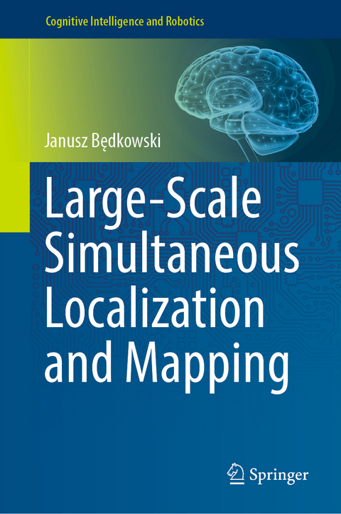
Large-Scale Simultaneous Localization and Mapping
Springer Verlag, Singapore
978-981-19-1971-8 (ISBN)
The novelty is a complete and interdisciplinary methodology for large-scale mobile mapping applications. The contribution is a set of programming examples available as supportive complementary material for this book. All observation equations are implemented, and for each, the programming example is provided. The programming examples are simple C++ implementationsthat can be elaborated by students or engineers; therefore, the experience in coding is not mandatory.
Moreover, since the implementation does not require many additional external programming libraries, it can be easily integrated with any mobile mapping framework. Finally, the purpose of this book is to collect all necessary observation equations and solvers to build computational system capable providing large-scale maps.
Janusz Będkowski is D.Sc. and Ph.D. in mobile robotics. He is a researcher at Polish Academy of Science, Polish Academy of Science, Institute of Fundamental Technological Research, and engineer in TomTom International BV. He is actively working on the theoretical and practical aspects of simultaneous localization and mapping applications assuming global scale. Recently, he is working on the methodology of fulfilling the gap between geodesy and cartography, geo science and mobile robotics. He is active member of European Land Robotic Trial (ELROB) and the European Robotics Hackathon (ENRICH).
Chapter 1. Introduction.- Chapter 2. Terminology.- Chapter 3. Weighted Non Linear Least Square Optimization.- Chapter 4. Coordinate Systems.- Chapter 5. Mobile mapping data.- Chapter 6. Mobile Mapping Systems.- Chapter 7. Ground truth data sources.- Chapter 8. Trajectory estimation.- Chapter 9. Nearest observations search.- Chapter 10. Camera metrics.- Chapter 11. LiDAR metrics.- Chapter 12. Constraints.- Chapter 13. Metrics’ fusion.- Chapter 14. Building large scale SLAM optimization.- Chapter 15. Loop closing and change detection.- Chapter 16. Final map qualitative and quantitative evaluation.
| Erscheinungsdatum | 16.06.2022 |
|---|---|
| Reihe/Serie | Cognitive Intelligence and Robotics |
| Zusatzinfo | 174 Illustrations, color; 30 Illustrations, black and white; XVIII, 308 p. 204 illus., 174 illus. in color. |
| Verlagsort | Singapore |
| Sprache | englisch |
| Maße | 155 x 235 mm |
| Themenwelt | Informatik ► Grafik / Design ► Digitale Bildverarbeitung |
| Informatik ► Theorie / Studium ► Künstliche Intelligenz / Robotik | |
| Mathematik / Informatik ► Mathematik ► Angewandte Mathematik | |
| ISBN-10 | 981-19-1971-2 / 9811919712 |
| ISBN-13 | 978-981-19-1971-8 / 9789811919718 |
| Zustand | Neuware |
| Informationen gemäß Produktsicherheitsverordnung (GPSR) | |
| Haben Sie eine Frage zum Produkt? |
aus dem Bereich


