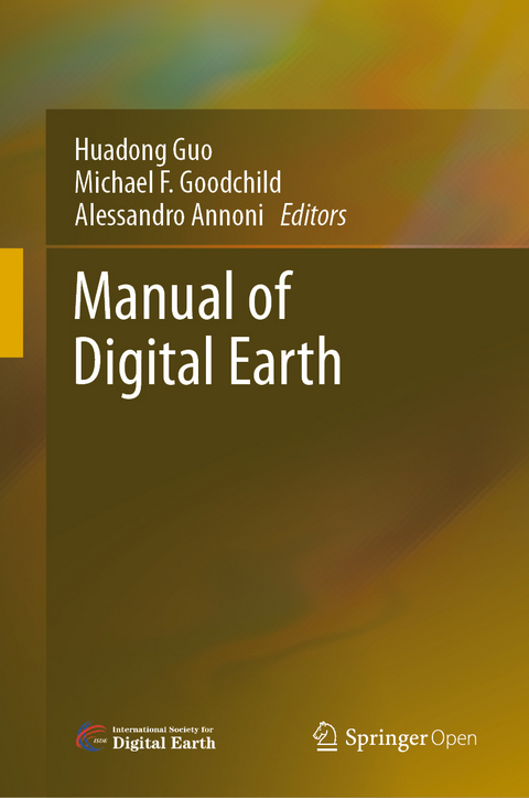
Manual of Digital Earth
Springer Verlag, Singapore
978-981-329-914-6 (ISBN)
The main aspects of Digital Earth covered here include: Digital Earth platforms, remote sensing and navigation satellites, processing and visualizing geospatial information, geospatial information infrastructures, big data and cloud computing, transformation and zooming, artificial intelligence, Internet of Things, and social media. Moreover, the book covers in detail the multi-layered/multi-faceted roles of Digital Earth in response to sustainable development goals, climate changes, and mitigating disasters, the applications of Digital Earth (such as digital city and digital heritage), the citizen science in support of Digital Earth, the economic value of Digital Earth, and so on. This book also reviews the regional and national development of Digital Earth around the world, and discusses the role and effect of education and ethics. Lastly, it concludes with a summary of the challenges and forecasts the future trends of Digital Earth.
By sharing case studies and a broad range of general and scientific insights into the science and technology of Digital Earth, this book offers an essential introduction for an ever-growing international audience.
Huadong Guo is a Professor of the Chinese Academy of Sciences (CAS) Institute of Remote Sensing and Digital Earth (RADI), an Academician of CAS, a Foreign Member of the Russian Academy of Sciences, a Foreign Member of the Finnish Society of Sciences and Letters, and a Fellow of The World Academy of Sciences for the advancement of science in developing countries (TWAS). He presently serves as President of the International Society for Digital Earth (ISDE), Member of United Nations 10-Member Group to support the Technology Facilitation Mechanism for SDGs, Director of the International Centre on Space Technologies for Natural and Cultural Heritage (HIST) under the Auspices of UNESCO, Science Committee Member of the Integrated Research on Disaster Risk (IRDR) Program of ISC and UNISDR, Chair of the Digital Belt and Road Program (DBAR), and Editor-in-Chief of the International Journal of Digital Earth and Big Earth Data published by Taylor & Francis.He served as President of ICSU Committee on Data for Science and Technology (CODATA), Secretary General of International Society for Digital Earth from 2006 to 2014, Director-General of the CAS Institute of Remote Sensing Applications (IRSA), Founding Director General of the CAS Center for Earth Observation and Digital Earth (CEODE), Founding Director General of the RADI, and Deputy Secretary-General of CAS. Professor Guo specializes in remote sensing science, radar for Earth observation and Digital Earth. He has published more than 600 papers and 16 books, and is the principal awardee of 16 domestic and international prizes. Currently, he is the Chief Scientist of the Big Earth Data Science Engineering Program and the Principal Investigator of Moon-based Earth Observation Research Project supported by CAS and National Natural Science Foundation of China. Michael F. Goodchild is Emeritus Professor of Geography at the University of California, Santa Barbara. He is also Distinguished Chair Professor at the Hong Kong Polytechnic University and Research Professor at Arizona State University, and holds many other affiliate, adjunct, and honorary positions at universities around the world. Until his retirement in June 2012 he was Jack and Laura Dangermond Professor of Geography, and Director of UCSB’s Center for Spatial Studies. He received his BA degree from Cambridge University in Physics in 1965 and his PhD in geography from McMaster University in 1969, and has received five honorary doctorates. He was elected member of the National Academy of Sciences and Foreign Member of the Royal Society of Canada in 2002, member of the American Academy of Arts and Sciences in 2006, and Foreign Member of the Royal Society and Corresponding Fellow of the British Academy in 2010; and in 2007 he received the Prix Vautrin Lud. He was editor of Geographical Analysis between 1987 and 1990 and editor of the Methods, Models, and Geographic Information Sciences section of the Annals of the Association of American Geographers from 2000 to 2006. He serves on the editorial boards of ten other journals and book series, and has published over 15 books and 500 articles. He was Chair of the National Research Council’s Mapping Science Committee from 1997 to 1999, and of the Advisory Committee on Social, Behavioral, and Economic Sciences of the National Science Foundation from 2008 to 2010. His research interests center on geographic information science, spatial analysis, and uncertainty in geographic data. Alessandro Annoni is working in European Commission’s Joint Research Centre since 1997. He has been the Head of the Spatial Data Infrastructure and the Digital Earth Units working on Information Infrastructures, advancing research on multidisciplinary-interoperability and ensuring the Technical Coordination of the INSPIRE Directive 2007/2/EC that lays down rules for the establishment of the European Spatial Data Infrastructure. Since 2016 is the Head of the Digital Economy Unit targeting the impact of Digital Transformation on economy and society and in charge of the European Artificial Intelligence Observatory (AI Watch). Alessandro graduated in Physics from the University of Milan. Before joining the European Commission, he worked for 20 years in the private sector and managed companies dealing with Digital Earth technologies. Alessandro has 40 years working experience in several domains (forestry, agriculture, oceanology, nature protection, … and more recently on digital economy) dealing with Spatial Planning, Spatial Analysis, Environmental Modelling, Spatial Data Infrastructures, Geo-Information, GIS technologies, Artificial Intelligence, Remote Sensing, Image Processing, System Design and Software Development. He has participated in several European projects relevant for Geo-Information and Digital Technologies and is author, co-author and editor of more than hundred papers and books. Since 2006 Alessandro served as co-chair of the Architecture and Data Committee of the Group on Earth Observations (GEO). He co-chaired the GEO Infrastructure Implementation Board and he is now member of the GEO Programme Board. He is a visionary member and Vice President of the International Society for Digital Earth (ISDE). Alessandro has been awarded the 2013 Ian McHarg Medal of the European Geosciences Union reserved for distinguished research in Information Technology applied to Earth and space sciences. In 2016 he received the Digital Earth Science and Technology Contribution Award from the International Society for Digital Earth for outstanding contribution to advancing the development of Digital Earth.
Understanding Digital Earth.- Part I Digital Earth Technologies.- Digital Earth Platforms.- Remote Sensing.- Satellites for Digital Earth.- Satellite Navigation for Digital Earth.- Geospatial Information Infrastructures.- Geospatial Information Processing Technologies.- Geospatial Information Visualization and Extended Reality Displays.- Transformation in Scale for Continuous Zooming.- Big Data and Cloud Computing.- Artificial Intelligence.- Internet of Things.- Social Media and Social Awareness.- Part II Digital Earth for Multi-domain Applications.- Digital Earth for Sustainable Development Goals.- Digital Earth for Climate Change Research.- Digital Earth for Disaster Mitigation Research.- Digital City: An Urban Perspective on Digital Earth.- Digital Heritage.- Citizen Science in Support of Digital Earth.- The Economic Value of Digital Earth.- Part III Digital Earth Regional & National Development.- Digital Earth in Europe.- Digital Earth in Australia.- Digital Earth in China.- Digital Earth in Russia.- Part IV Digital Earth Education and Ethics.- Digital Earth Education.- Digital Earth Ethics.
| Erscheinungsdatum | 09.12.2019 |
|---|---|
| Zusatzinfo | 255 Illustrations, color; 167 Illustrations, black and white; XIX, 852 p. 422 illus., 255 illus. in color. |
| Verlagsort | Singapore |
| Sprache | englisch |
| Maße | 155 x 235 mm |
| Themenwelt | Mathematik / Informatik ► Informatik ► Netzwerke |
| Naturwissenschaften ► Geowissenschaften ► Geografie / Kartografie | |
| Naturwissenschaften ► Geowissenschaften ► Geologie | |
| ISBN-10 | 981-329-914-2 / 9813299142 |
| ISBN-13 | 978-981-329-914-6 / 9789813299146 |
| Zustand | Neuware |
| Haben Sie eine Frage zum Produkt? |
aus dem Bereich


