Strata
University of Chicago Press (Verlag)
978-0-226-75488-8 (ISBN)
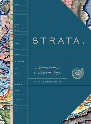
This sumptuous volume begins with an introduction by Douglas Palmer that places Smith’s work in the context of earlier, concurrent, and subsequent ideas regarding the structure and natural processes of the earth, geographical mapping, and biostratigraphical theories. The book is then organized into four parts, each beginning with four sheets from Smith’s hand-colored, 1815 strata map, accompanied by related geological cross-sections and county maps, and followed by fossil illustrations by Smith contemporary James Sowerby, all organized by strata. Essays between each section explore the aims of Smith’s work and its application in the fields of mining, agriculture, cartography and hydrology. Strata concludes with reflections on Smith’s later years as an itinerant geologist and surveyor, plagiarism by a rival, receipt of the first Wollaston Medal in recognition of his achievements, and the influence of his geological mapping and biostratigraphical theories on the sciences—all of which culminated in the establishment of the modern geological timescale.
Featuring a foreword by Robert Macfarlane, Strata is a glorious testament to the lasting geological and illustrative genius of William Smith, a collection as colossal and awe-inspiring as the layers of the Earth themselves.
The Oxford University Museum of Natural History holds an unrivaled William Smith collection, including not only his 1815 map and unpublished county maps, but also his vast archive of diaries, letters, published works, charts, and plans.
Foreword, by Robert Macfarlane
Introduction, by Douglas Palmer
1. BORDERS AND THE NORTH
Fossils: London Clay to Greensand
i. Apprentice, by Peter Wigley
2. WALES AND CENTRAL ENGLAND
Fossils: Brickearth to Clunch Clay & Shale
ii. Mineral Prospector, by Peter Wigley
iii. Field Work, by Dave Williams
3. EAST ANGLIA AND THE SOUTH EAST
Fossils: Kelloways Stone to Fuller’s Earth Rock
iv. Cartographer, by Tom Sharpe
v. Fossil Collector, by Jill Darrell & Diana Clements
4. THE WEST
Fossils: Blue Marl to Redland Limestone
vi. Well Sinker, by John Mather
vii. Mentor, by John Henry
Table Detailing William Smith’s Fossils Featured as Photographic Plates in This Book
Bibliography & Sources of Illustrations
Index & Acknowledgments
| Erscheinungsdatum | 20.10.2020 |
|---|---|
| Einführung | Douglas Palmer |
| Vorwort | Robert Macfarlane |
| Zusatzinfo | 500 color plates |
| Sprache | englisch |
| Maße | 267 x 365 mm |
| Gewicht | 2127 g |
| Themenwelt | Geisteswissenschaften ► Geschichte ► Regional- / Ländergeschichte |
| Naturwissenschaften ► Geowissenschaften ► Geologie | |
| ISBN-10 | 0-226-75488-X / 022675488X |
| ISBN-13 | 978-0-226-75488-8 / 9780226754888 |
| Zustand | Neuware |
| Haben Sie eine Frage zum Produkt? |
aus dem Bereich


