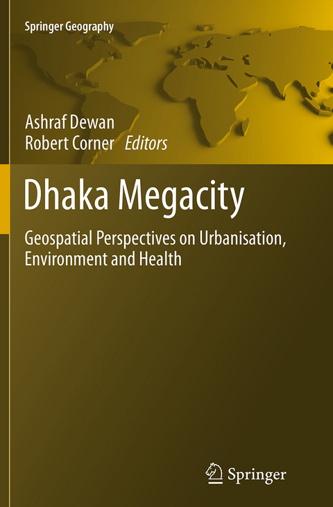
Dhaka Megacity
Springer (Verlag)
978-94-024-0049-6 (ISBN)
The book Dhaka Megacity: Geospatial Perspectives on Urbanisation, Environment and Health presents the use of geospatial techniques to address a number of environmental issues, including land use change, climatic variability, urban sprawl, population density modelling, flooding, environmental health, water quality, energy resources, urban growth modelling, infectious diseases and the quality of life. Although the work is focused on the Megacity of Dhaka in Bangladesh, the techniques and methods that are used to research these issues can be utilized in any other areas where rapid population growth coupled with unplanned urbanization is leading to environmental degradation.
The book is useful for people working in the area of Geospatial Science, Urban Geography, Environmental Management and International Development. Since the chapters in the book cover a range of environmental issues, this book describes useful tools for assisting informed decision making, particularly in developing countries.
Ashraf M Dewan is currently a Lecturer in the Department of Spatial Sciences at Curtin University, Western Australia (on leave from his substantive position as Associate Professor in the Geography & Environment Department at the University of Dhaka, Bangladesh). Robert J Corner has been a Senior Lecturer at Curtin University in Perth Western Australia since 2001, prior to which he worked for the CSIRO. He has worked extensively on the use of geospatial tools in environmental and health geography.
Introduction.- From a Town to a Megacity: 400 Years of Growth.- Spatiotemporal Patterns of Population Distribution.- Climatic Variability.- Monitoring and Prediction of Land-Use and Land-Cover (LULC) Change.- Spatiotemporal Analysis of Urban Growth, Sprawl and Structure.- Key Driving Factors Influencing Urban Growth: Spatial-Statistical Modelling with CLUE-s.- Analysis of Urban Development Suitability.- Impact of Land Use Change on Flooding Patterns.- Flood Vulnerability and Risk Assessment with Spatial Multi-Criteria Evaluation.- Supplementing Electrical Power through Solar PV Systems.- Impact of Land Use and Land Cover Changes on Urban Land Surface Temperature.- Illustrating Quality of Life (QOL).- Exploring Crime Statistics.- Environmental Problems and Governance.- Assessing Surface Water Quality using Landsat TM and In-Situ Data: An Exploratory Analysis.- Emissions from the Brick Manufacturing Industry.- Rainfall Dependence of Hospital Visits of Aeromonas-Positive Diarrhoea.- Modelling Spatiotemporal Patterns of Typhoid Cases between 2005 and 2009 using Spatial Statistics.- Spatiotemporal Analysis of Dengue Infection between 2005 and 2010.
| Erscheinungsdatum | 10.09.2016 |
|---|---|
| Reihe/Serie | Springer Geography |
| Zusatzinfo | 56 Illustrations, color; 42 Illustrations, black and white; XXVII, 405 p. 98 illus., 56 illus. in color. |
| Verlagsort | Dordrecht |
| Sprache | englisch |
| Maße | 155 x 235 mm |
| Themenwelt | Medizin / Pharmazie ► Medizinische Fachgebiete |
| Studium ► Querschnittsbereiche ► Epidemiologie / Med. Biometrie | |
| Naturwissenschaften ► Biologie ► Ökologie / Naturschutz | |
| Naturwissenschaften ► Geowissenschaften ► Geografie / Kartografie | |
| Sozialwissenschaften ► Soziologie | |
| ISBN-10 | 94-024-0049-4 / 9402400494 |
| ISBN-13 | 978-94-024-0049-6 / 9789402400496 |
| Zustand | Neuware |
| Haben Sie eine Frage zum Produkt? |
aus dem Bereich


