


Peters World Map
2002
Schofield & Sims Ltd
978-0-7217-0933-8 (ISBN)
Schofield & Sims Ltd
978-0-7217-0933-8 (ISBN)
This accurate, colour-coded map shows all areas according to their actual size, with the North-South lines running vertically and the East-West lines running parallel. The poster features a brief discussion of the tendency of traditional maps to show countries incorrectly in proportion to one another, and describes the 'growing awareness of the interdependence of all nations and all peoples.'
| Erscheint lt. Verlag | 21.2.2002 |
|---|---|
| Verlagsort | West Yorkshire |
| Sprache | englisch |
| Maße | 770 x 530 mm |
| Themenwelt | Reisen ► Karten / Stadtpläne / Atlanten |
| Schulbuch / Wörterbuch | |
| ISBN-10 | 0-7217-0933-8 / 0721709338 |
| ISBN-13 | 978-0-7217-0933-8 / 9780721709338 |
| Zustand | Neuware |
| Haben Sie eine Frage zum Produkt? |
Mehr entdecken
aus dem Bereich
aus dem Bereich
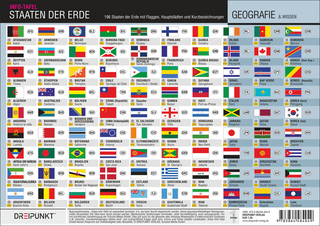
196 Staaten der Erde mit Flaggen, Hauptstädten und Länderkennzeichen
Einzelblätter (2021)
Schulze Media
7,99 €