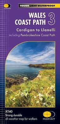
Wales Coast Path 3
Cardigan to Llanelli including Pembrokeshire Coast Path
Seiten
2023
Harvey Map Services Ltd (Verlag)
978-1-85137-662-9 (ISBN)
Harvey Map Services Ltd (Verlag)
978-1-85137-662-9 (ISBN)
The Wales Coast Path is a 1400km (870mile) long distance path along the entire coastline of Wales, from Chester in the north to Chepstow in the South. - The entire route on 4 maps - this is map 3 - Map 3 shows Cardigan to Llanelli, 398 km (248 miles) in length including the Pembrokeshire Coast Path National Trail . - A good two weeks' walking on one map - Information on accomodation and services - Lightweight, detailed, clear and easy to read - Printed on tough 100% waterproof, tearproof paper - GPS compatible
| Erscheint lt. Verlag | 27.3.2023 |
|---|---|
| Reihe/Serie | Trail Map XT40 |
| Verlagsort | Perthshire |
| Sprache | englisch |
| Maße | 116 x 243 mm |
| Gewicht | 60 g |
| Themenwelt | Sachbuch/Ratgeber ► Sport |
| Reisen ► Karten / Stadtpläne / Atlanten | |
| ISBN-10 | 1-85137-662-3 / 1851376623 |
| ISBN-13 | 978-1-85137-662-9 / 9781851376629 |
| Zustand | Neuware |
| Haben Sie eine Frage zum Produkt? |
Mehr entdecken
aus dem Bereich
aus dem Bereich
Karte/Kartografie (2024)
BVA BikeMedia (Verlag)
15,95 €
222 Mountain Passes of the Alps / 222 Cols des Alpes / 222 Passi …
Karte (gerollt) (2024)
Marmota Maps GmbH (Verlag)
60,00 €

