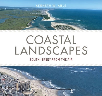
Coastal Landscapes
South Jersey from the Air
Seiten
2023
Rutgers University Press (Verlag)
978-1-9788-3373-9 (ISBN)
Rutgers University Press (Verlag)
978-1-9788-3373-9 (ISBN)
Based on numerous aerial images from helicopter and drone flights between 2015 and 2021, this book provides extensive photographs and maps of the New Jersey coast, accompanied by expert analysis by marine scientist Kenneth Able describing each site’s natural features, ecology, history, and possible futures in an era of rising sea levels.
New Jersey has roughly one hundred and thirty miles of coastline, including a wide array of habitats from marshes to ocean beaches, each hosting a unique ecosystem. Yet these coastal landscapes are quite dynamic, changing rapidly as a result of commercial development, environmental protection movements, and of course climate change. Now more than ever, it is vital to document these landscapes before they disappear.
Based on numerous aerial images from helicopter and drone flights between 2015 and 2021, this book provides extensive photographs and maps of the New Jersey coast, from the Pine Barrens to the ocean beaches. The text associated with each exceptional image describes it in detail, including its location, ecological setting, and relative position within the larger landscape. Author Kenneth Able, director of the Rutgers University Marine Field Station for over thirty years, has thoroughly ground-truthed each image by observations made through kayaks, boats, and wading through marshes. Calling upon his decades of expertise, Able paints a compelling portrait of coastal New Jersey’s stunning natural features, resources, history, and possible futures in an era of rising sea levels.
KENNETH ABLE is a distinguished professor emeritus at Rutgers University, where he taught in the Department of Marine and Coastal Sciences for forty-two years and directed the Rutgers University Marine Field Station in Little Egg Inlet for thirty-two years. He is the author of three books and over two hundred and sixty peer-reviewed papers on marine and estuarine research.
1 Introduction
2 Nature Revealed
3 Relics of the Past
4 Recent Human Footprints
5 Connecting People, Places, and Resources
6 Sea Level Rising
Acknowledgements
General References
Index
| Erscheinungsdatum | 19.04.2024 |
|---|---|
| Zusatzinfo | 95 color illustrations |
| Verlagsort | New Brunswick NJ |
| Sprache | englisch |
| Maße | 216 x 203 mm |
| Gewicht | 472 g |
| Themenwelt | Kunst / Musik / Theater ► Fotokunst |
| Sachbuch/Ratgeber ► Natur / Technik ► Natur / Ökologie | |
| Reiseführer ► Nord- / Mittelamerika ► USA | |
| Naturwissenschaften ► Biologie ► Ökologie / Naturschutz | |
| ISBN-10 | 1-9788-3373-3 / 1978833733 |
| ISBN-13 | 978-1-9788-3373-9 / 9781978833739 |
| Zustand | Neuware |
| Haben Sie eine Frage zum Produkt? |


